

Oregon Outdoor Atlas
Explore More. Discover Oregon.
Discover Oregon's parks, trails, waterfalls, lakes, beaches, and campgrounds. Explore outdoor destinations, plan your next adventure, and share your experiences.
Looking for
Search all Oregon outdoors — or narrow the type first.
Try
Or start from
Plain English works — say kids, dogs, distance, trail, campground, beach, or waterfall. We turn your sentence into filters and rank places that fit.
Near-me ranking uses your location for this search only — Privacy.
Explore Oregon
Browse by destination
Each hub is built from publishable inventory — not scraped booking sites. Open a category, then filter by city, amenities, or near me.
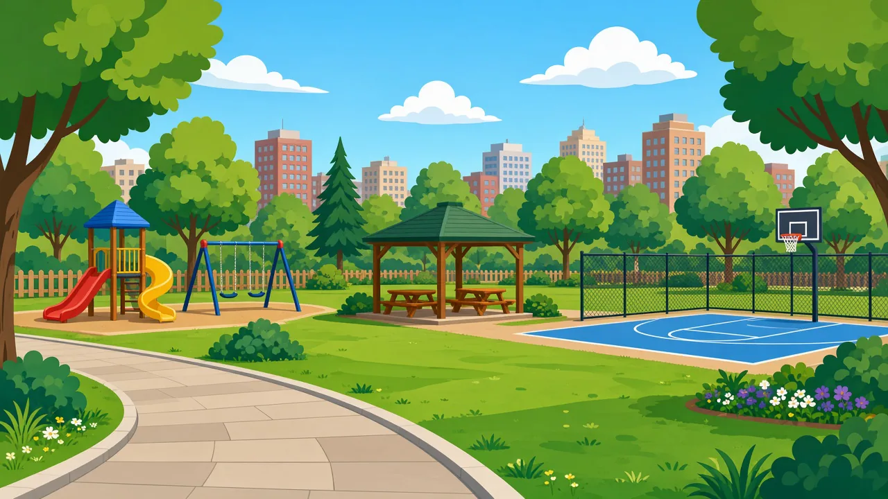 2,363 placesParksCity & regional parks across OregonExplore parks →
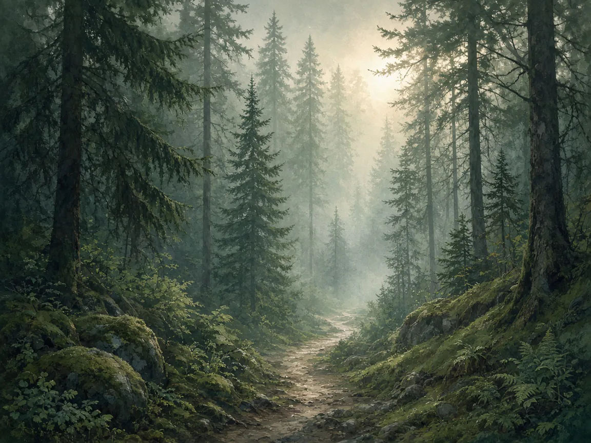 7,733 placesTrailsNamed hikes with distance when knownExplore trails →
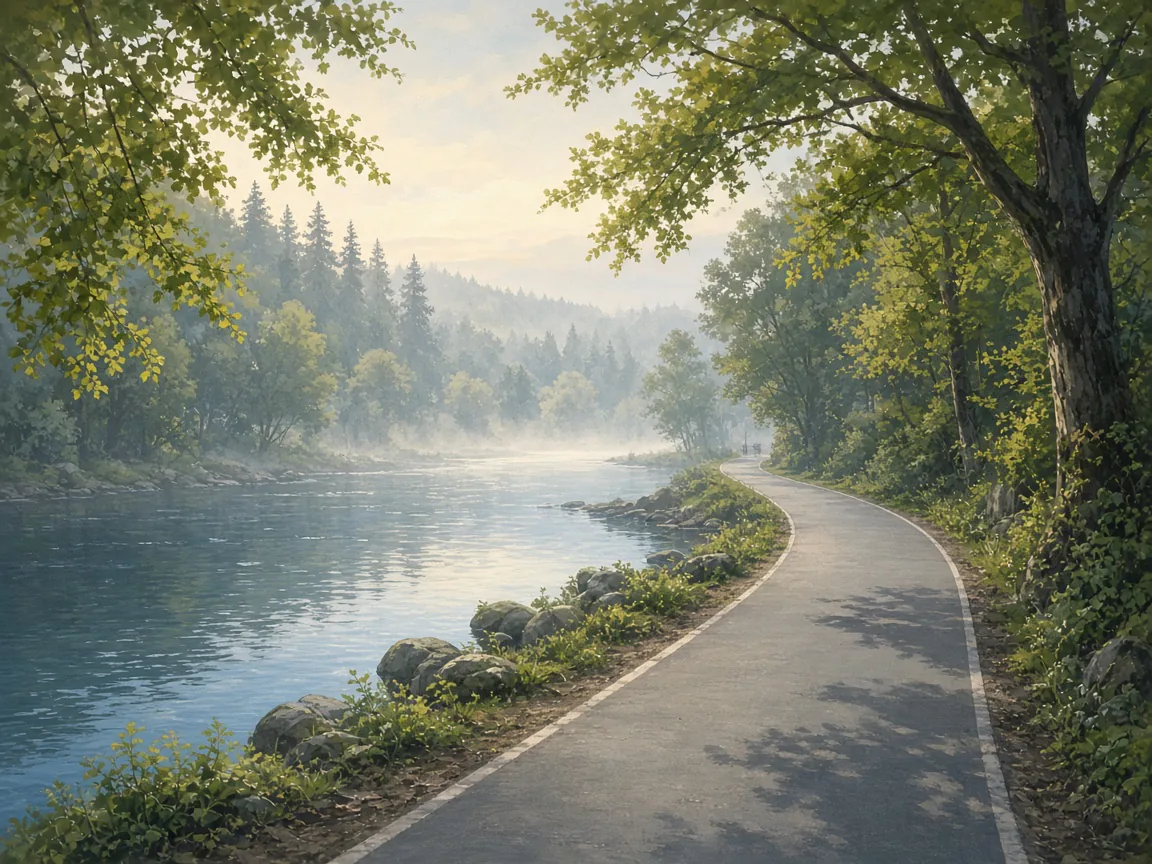 BikingPaths and bike-friendly routesExplore biking →
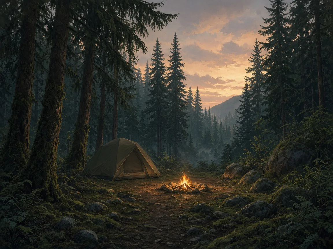 801 placesCampingForest Service & BLM campgroundsExplore camping →
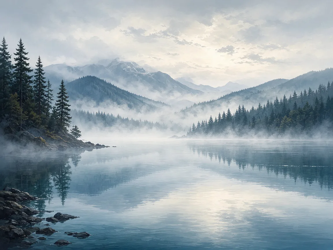 169 placesLakesNamed lakes and reservoirsExplore lakes →
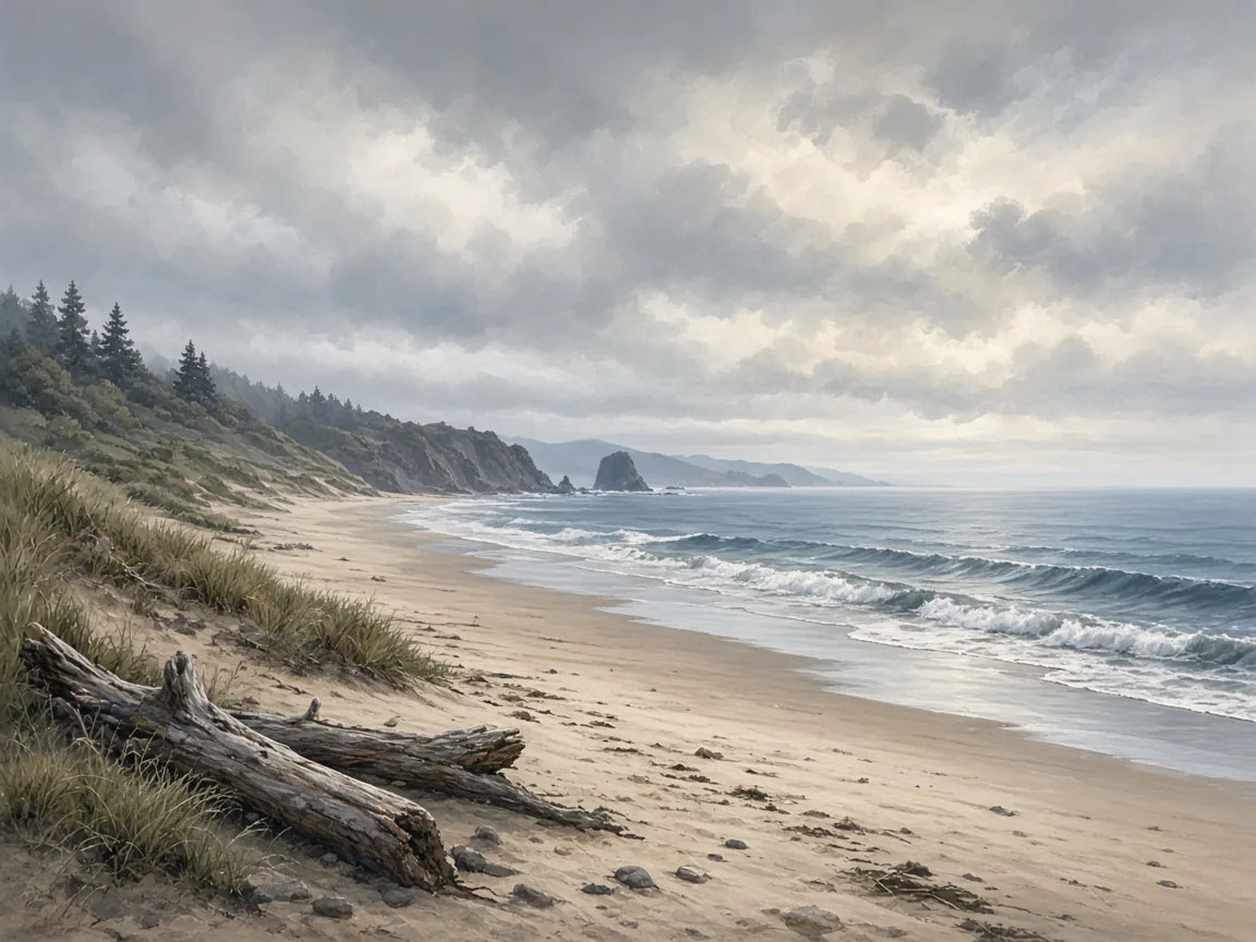 491 placesBeachesCoastal public access sitesExplore beaches →
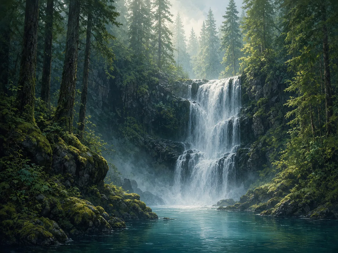 129 placesWaterfallsNamed falls with trail access cuesExplore waterfalls →
Quick starts
Jump into a common outing
Pre-filtered searches using real amenities and place types already in the inventory — pick a mood, then refine on the map.
Family & easy
Short stops and soft surfaces when the whole group is coming.
On the move
Miles underfoot or on two wheels — then a place to sleep.
Water & coast
Shorelines, spray, and a cool afternoon by the water.
How it works
Search, understand, go
Built for people who know what they want to do outdoors — not for guessing hours we do not have.
- 01
Say what you need
Kids, dogs, a short hike, a coastal stop, or camping near Bend — in one sentence.
Open search - 02
We score the fit
Results blend amenities, distance, age suitability, and what the source data can support.
Compare places - 03
See why it matched
Every place shows why it fits — then open the map, save it, or add it to a day plan.
Plan a day
Start somewhere good
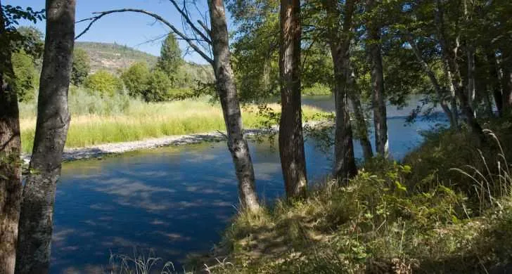
Amenity-rich parks to explore
A few well-mapped Portland parks from our inventory — or jump into any destination hub above.
Trusted sources
Built on official open data
We compile place records from public agency feeds — then keep unknown hours, fees, and live availability blank rather than inventing them for SEO.
- USDA Forest Service & BLM recreation sites
- Oregon State Parks (OPRD) & city parks GIS
- Metro RLIS trails and regional open data
- OCMP coastal public access inventory
- USGS GNIS named waterfalls
- BLM / USGS hydrography for lakes
FAQ
Before you head out
- What kinds of places can I find here?
- Oregon Outdoor Atlas covers parks, trails, campgrounds, lakes, beaches, and waterfalls — plus bike-friendly routes. Inventory comes from official open data such as city parks GIS, Metro RLIS, USDA Forest Service, BLM, OPRD, OCMP coastal access, and USGS GNIS.
- Do you show live camping availability or trail conditions?
- No. We help you discover places and open official links when available. Fees, fire restrictions, seasonal closures, and reservations stay with the land manager (for example Recreation.gov or the local forest office).
- How does the plain-language search work?
- Type what you need — playgrounds near Beaverton, dog parks with restrooms, a waterfall with trail access — and we match amenities, place type, and location. Fit scores explain why a result ranked highly.
- Is location and account data private?
- Near-me ranking uses your location for that search only. Signed-in Outdoor Journal data syncs to your account; guest shortlists stay on this device until you sign in. See the Privacy page for cookies, analytics, and what we store.