
Oregon lakes
Named lakes and ponds from BLM/USGS hydrography (larger waterbodies). A mapped lake is not a guarantee of public shore access — verify land management before you go.
In our inventory
169 publishable lakes
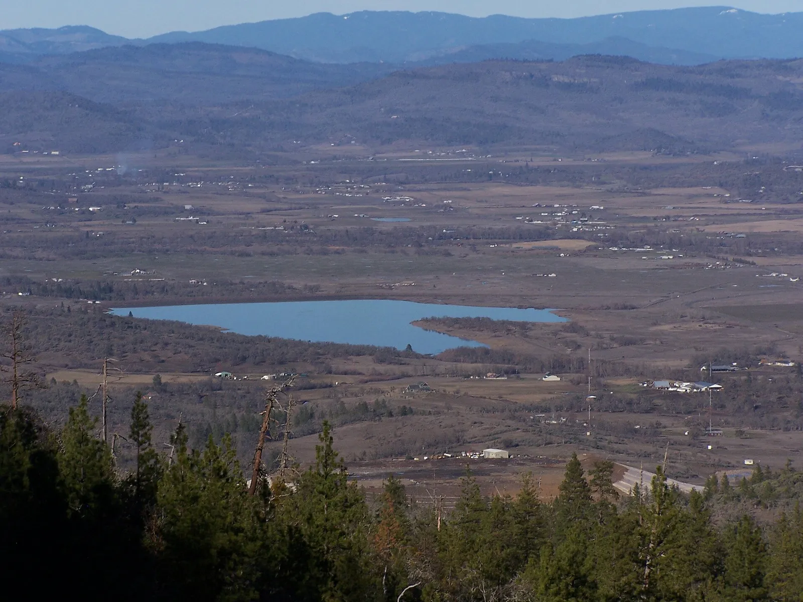
Agate Lake
LakeWikipedia Oregon lakes · Oregon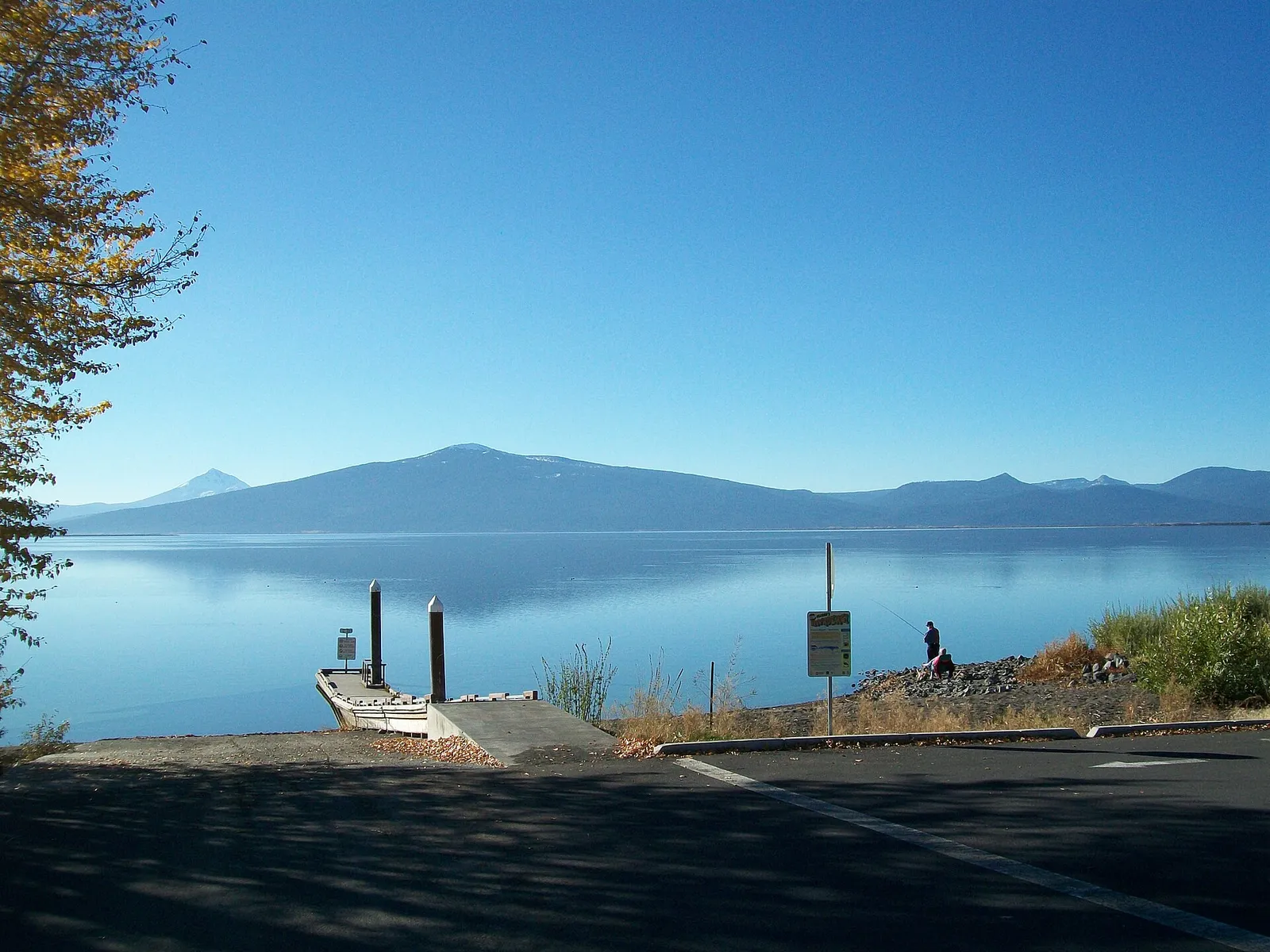
Agency Lake
LakeBureau of Land Management · Chiloquin
Alvord Lake
LakeWikipedia Oregon lakes · Oregon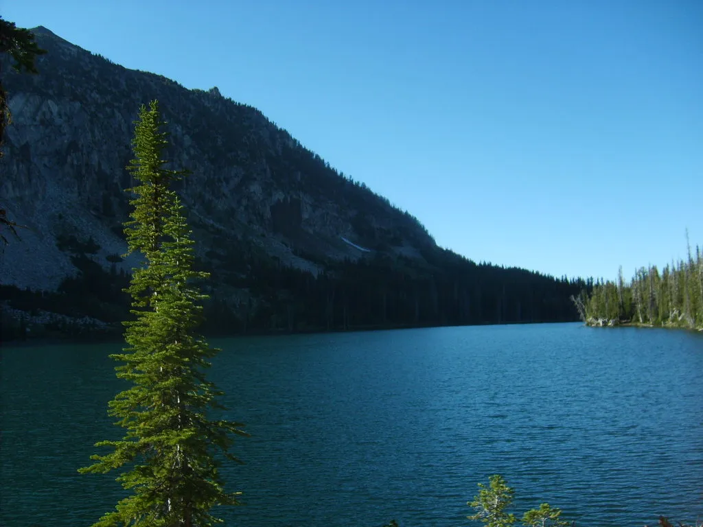
Aneroid Lake
LakeBureau of Land Management · Joseph- Restroom
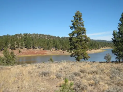
Antelope Flat Reservoir
LakeWikipedia Oregon lakes · Oregon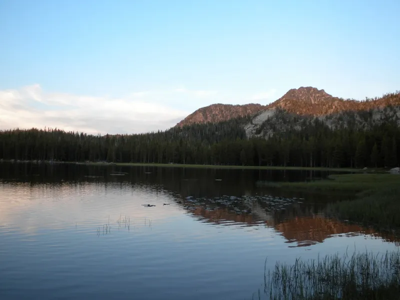
Anthony Lakes
LakeWikipedia Oregon lakes · Oregon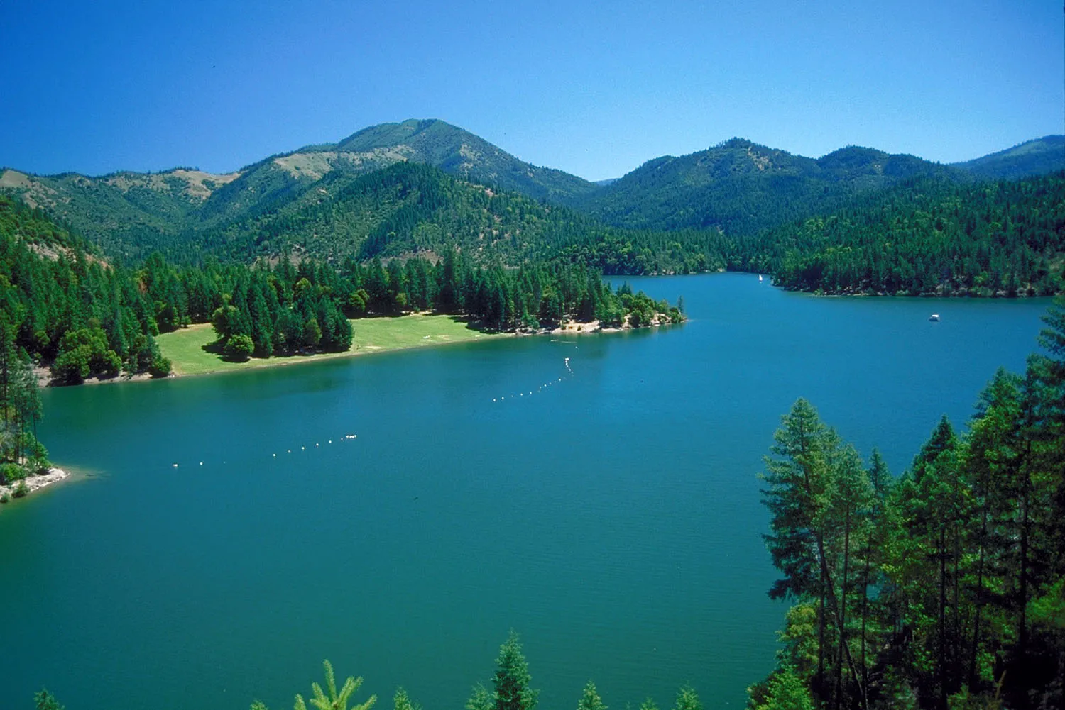
Applegate Lake
LakeUSDA Forest Service · Jacksonville- Restroom
- Parking
- Beach
 No photo
Aspen Lake
LakeUSDA Forest Service · Klamath Falls- Fishing
- No photo
Baert Lake
LakeWikipedia Oregon lakes · Oregon 
Big Cliff Reservoir
LakeWikipedia Oregon lakes · Oregon
Big Lake
LakeUSDA Forest Service · Sisters- Restroom
- Swimming
- Boat Launch
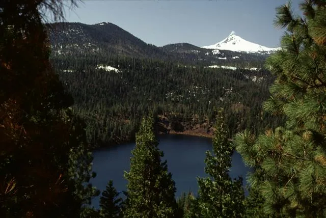
Blue Lake
LakeUSDA Forest Service · Oakridge- Hiking Trails
- Trail
- Fishing
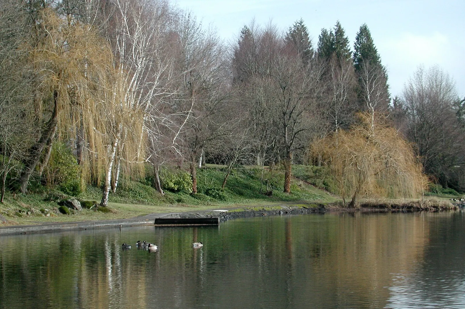
Blue Lake Regional Park
LakeMetro · Fairview- Soccer Field
- Volleyball Court
- Parking
- Basketball Court
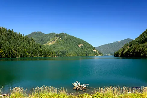
Blue River Reservoir
LakeWikipedia Oregon lakes · Oregon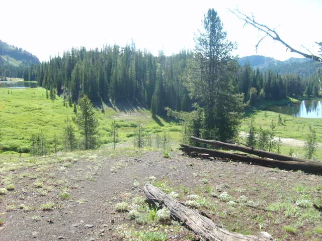
Bonny Lakes
LakeBureau of Land Management · Joseph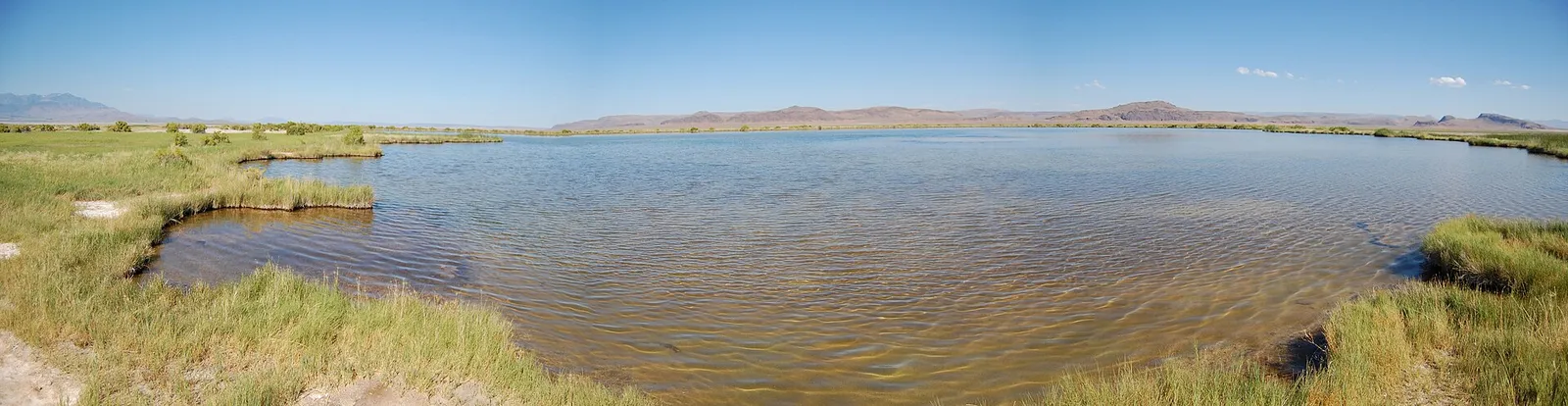
Borax Lake
LakeWikipedia Oregon lakes · Oregon
Botens Reservoir
LakeWikipedia Oregon lakes · Oregon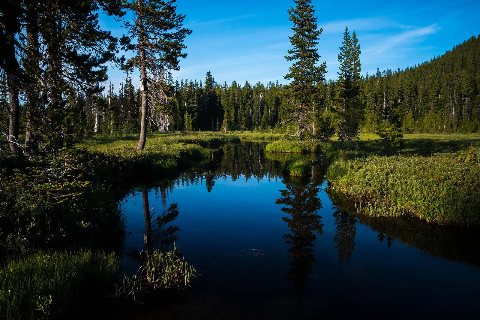
Breitenbush Lake
LakeWikipedia Oregon lakes · Oregon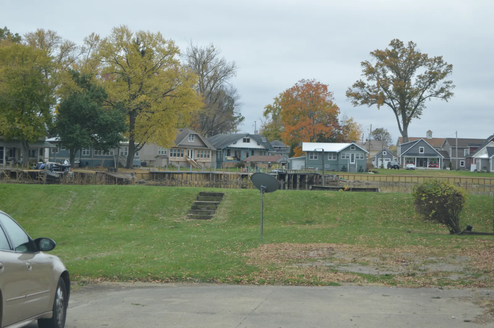
Buckeye Lake
LakeUSDA Forest Service · Oregon- Hiking Trails
- Trail
- Restroom
- Fishing

Bull Run Lake
LakeBureau of Land Management · Cascade Locks
Showing 20 of 169. See all in search
FAQ
- What official dataset are these lakes from?
- Primarily BLM Oregon hydrography waterbody polygons aligned with USGS National Hydrography Dataset (NHD) naming — we keep features typed as Lake or Pond that carry a GNIS name.
- Does a mapped lake mean I can swim, boat, or fish there?
- Not necessarily. Hydrography confirms the waterbody and its official name/location. Swimming, boating, fishing seasons, and shore access are set by the land or wildlife manager — we do not invent those amenities from the map layer.
- Why are many small ponds missing?
- We import named Lake/Pond features above a minimum surface-acre threshold so the catalog stays useful for destination discovery. Tiny unnamed or sub-threshold ponds are omitted by design.
- What is GNIS on a lake page?
- The Geographic Names Information System (GNIS) is the USGS / U.S. Board on Geographic Names database of official feature names and locations. A GNIS name identifies the waterbody; it is not a recreation permit.
- How do I know if the shoreline is public?
- Ownership and management are not fully encoded in the hydrography polygon. Check the managing agency (Forest Service, BLM, OPRD, county, or private) and any nearby recreation site or trail before you assume shore access.
- Do you copy Wikipedia lake facts?
- Some Oregon lakes may also be enriched from the Wikipedia “List of lakes of Oregon” and related pages (coordinates, Commons photos, published facts). Treat Wikipedia as secondary; prefer the land manager for access and safety.