

Oregon biking & bike paths
Rideable routes from open trail data — Metro RLIS, USFS, BLM, and OPRD — tagged with bike-path. Discovery only; not a turn-by-turn bike computer.
In our inventory
2105 publishable places with bike-path
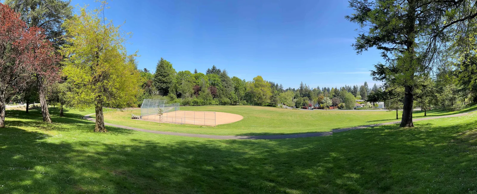
'Scht Wiwnu Park Trail
TrailPortland Parks and Recreation · Portland- Hiking Trails
- Bike Path
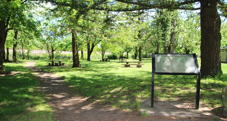
1000 Acres Road
TrailUnited States Forest Service · Oregon- Accessible Features
- Hiking Trails
- Horse Trails
- Bike Path
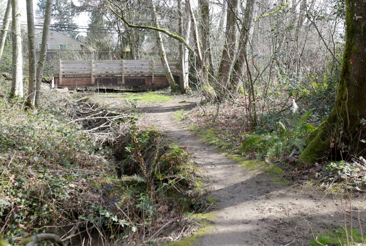
103rd Ave - Ridgewood Elementary School Connector
TrailMetro RLIS Trail · Oregon- Hiking Trails
- Bike Path
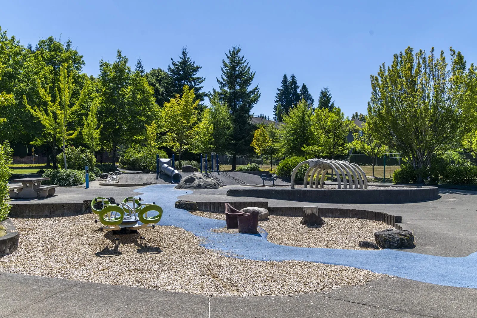
106th - Meier Connector
TrailCity of Tualatin · Tualatin- Hiking Trails
- Bike Path
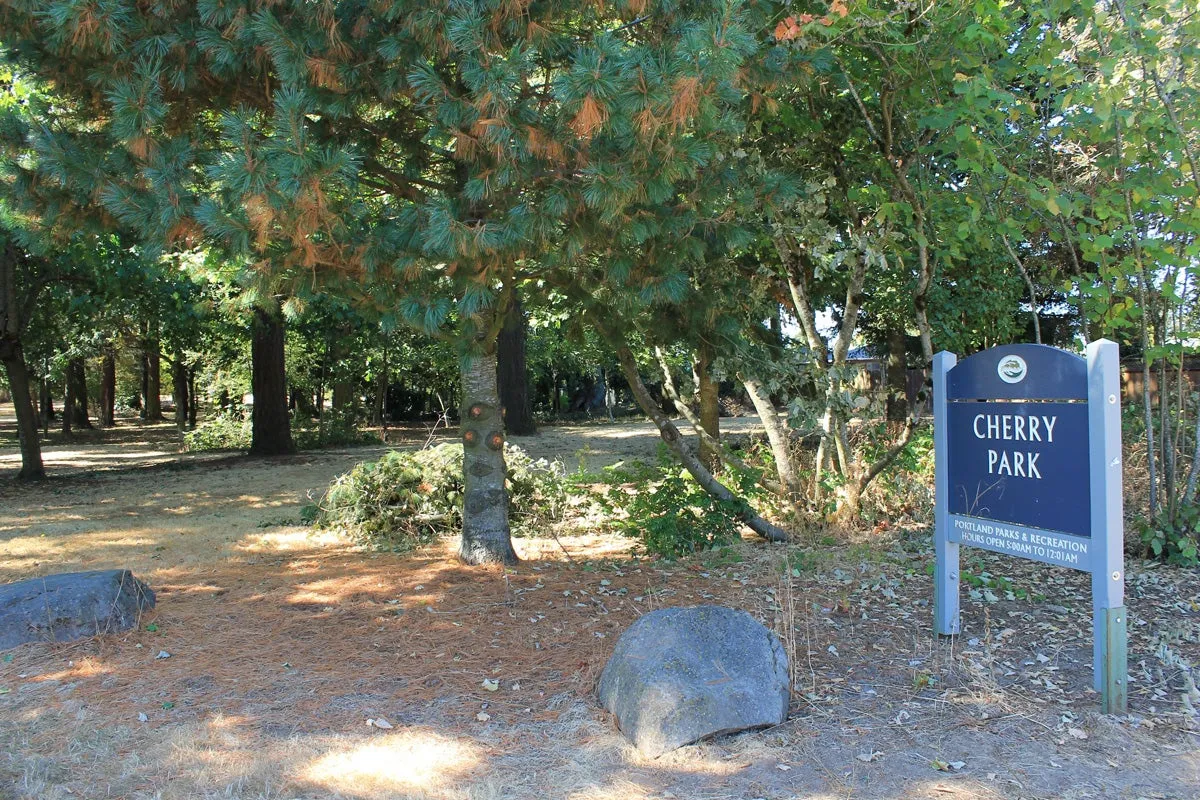
106th - Mll Ct Connector
TrailMetro RLIS Trail · Portland- Hiking Trails
- Bike Path
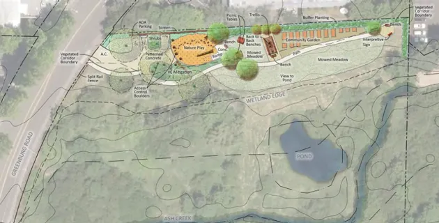
113th Pl - Gallo Pl Connector
TrailCity of Tigard · Tigard- Hiking Trails
- Bike Path
113th Pl Connector
TrailCity of Tigard · Tigard- Hiking Trails
- Bike Path
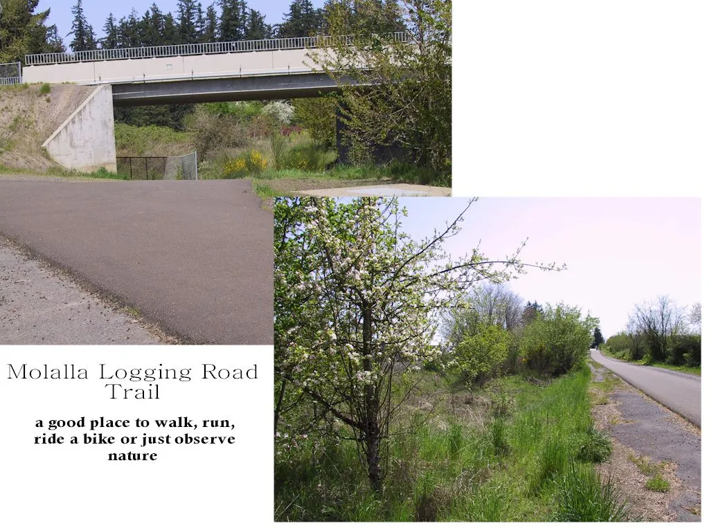
11th Ave - Moalla Forest Rd Connector
TrailMetro RLIS Trail · Canby- Hiking Trails
- Bike Path

129th Ave Trail
TrailCity of Tigard · Tigard- Hiking Trails
- Bike Path
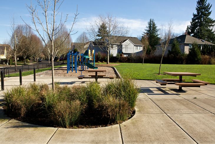
131st Ave Trail
TrailCity of Beaverton · Beaverton- Hiking Trails
- Bike Path
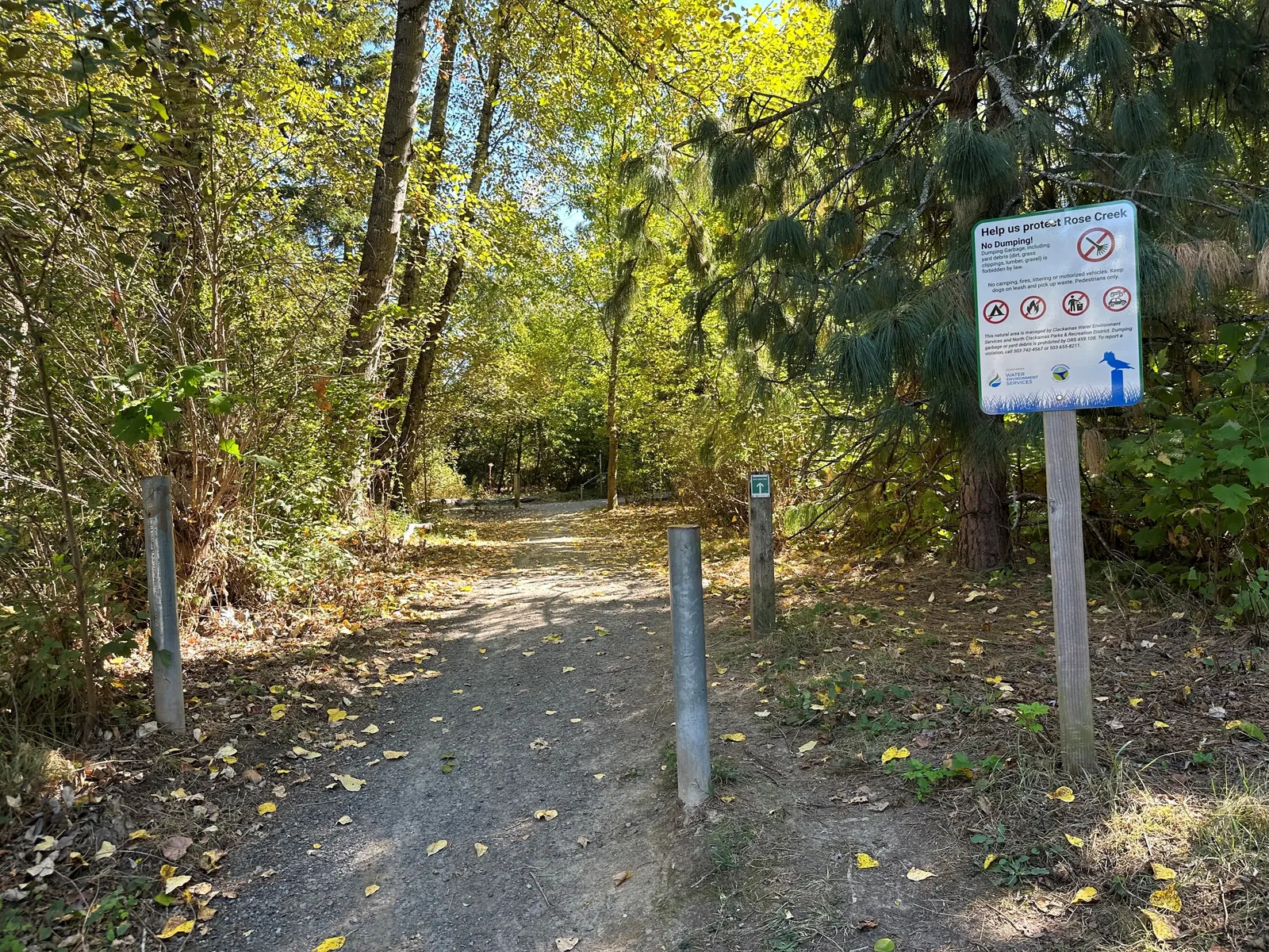
147th Ave - Page Park Ct Connector
TrailCity of Happy Valley · Happy Valley- Hiking Trails
- Bike Path
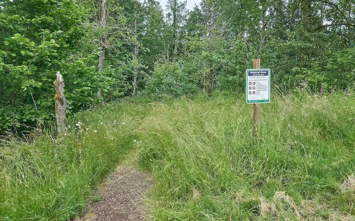
148th - Belmore Connector
TrailMetro RLIS Trail · Portland- Hiking Trails
- Bike Path
- Accessible Features
149th Ter - 150th Ter Connector
TrailMetro RLIS Trail · Happy Valley- Hiking Trails
- Bike Path
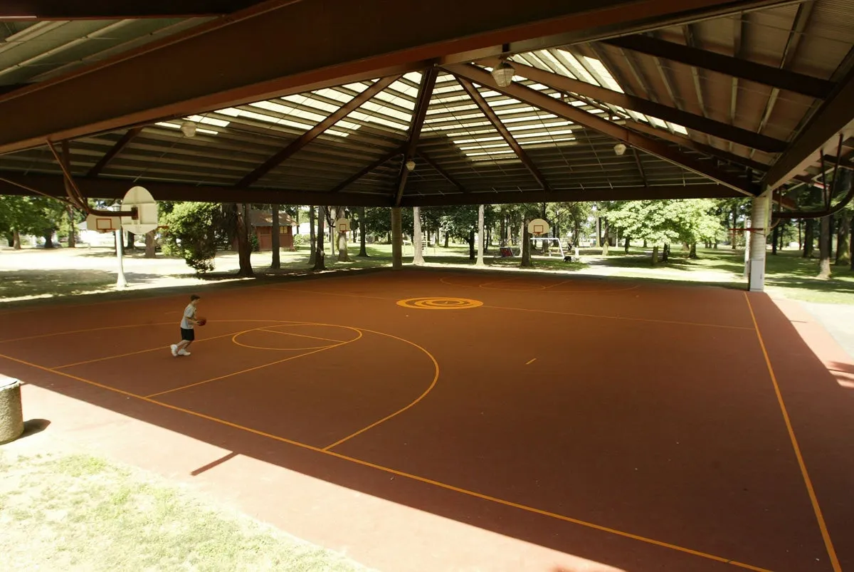
14th Pl - Connector
TrailMetro RLIS Trail · Portland- Hiking Trails
- Bike Path
152nd - SE Nia Dr Connector
TrailMetro RLIS Trail · Happy Valley- Hiking Trails
- Bike Path

15th St - 15th Ct Connector
TrailMetro RLIS Trail · Troutdale- Hiking Trails
- Bike Path
160th Ave - Mt Willams Connector
TrailMetro RLIS Trail · Beaverton- Hiking Trails
- Bike Path
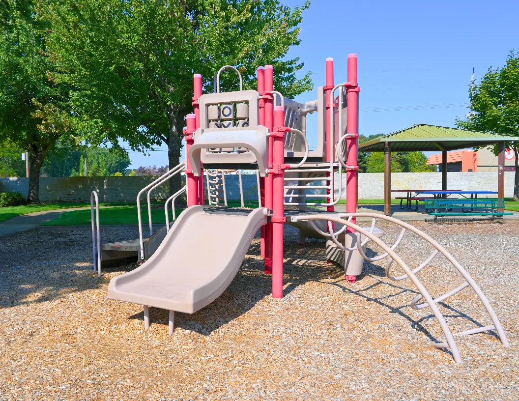
16th Ave - Alpine St Connector
TrailMetro RLIS Trail · Cornelius- Hiking Trails
- Bike Path
16th Ave - Connector
TrailMetro RLIS Trail · Portland- Hiking Trails
- Bike Path

173rd - 170th Connector
TrailMetro RLIS Trail · Beaverton- Hiking Trails
- Bike Path
Showing 20 of 2105. See all in search
FAQ
- Is this mountain bike only?
- No. Listings include paved multi-use paths and trails marked for road or mountain bikes in the source data. Open a place for surface and use notes when present.
- Do you invent bike amenities?
- No. Places appear when an open connector or agency feed tags bike-path (or equivalent). Confirm conditions with the land manager.
- Where does the data come from?
- The same official trail connectors as /trails (Metro RLIS ROADBIKE/MTNBIKE, USFS/BLM/OPRD open layers) plus parks that list bike paths.