
Oregon waterfalls
Named Falls features from USGS GNIS for Oregon. Names and coordinates only — we do not invent height, difficulty, or trail length.
In our inventory
129 publishable waterfalls

Alsea Falls
WaterfallBureau of Land Management · Monroe- Hiking Trails
- Trail
- Parking

Beaver Creek Falls
WaterfallUSDA Forest Service · Dunes City- Hiking Trails
- Trail
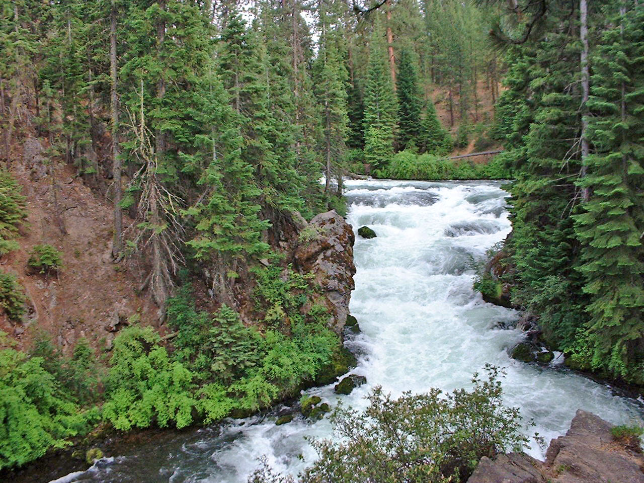
Benham Falls
WaterfallUSDA Forest Service · Bend- Hiking Trails
- Trail
- Accessible Features

Big Falls
WaterfallBureau of Land Management · Redmond- Hiking Trails
- Trail
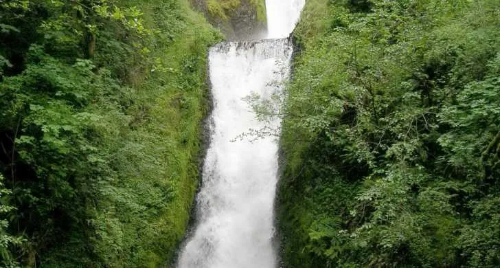
Bridal Veil Falls State Scenic Viewpoint
WaterfallOregon State Parks · Portland- Interpretive
- Accessible Features
- Hiking Trails
- Picnic Area

Butte Falls
WaterfallButte Falls Parks · Butte Falls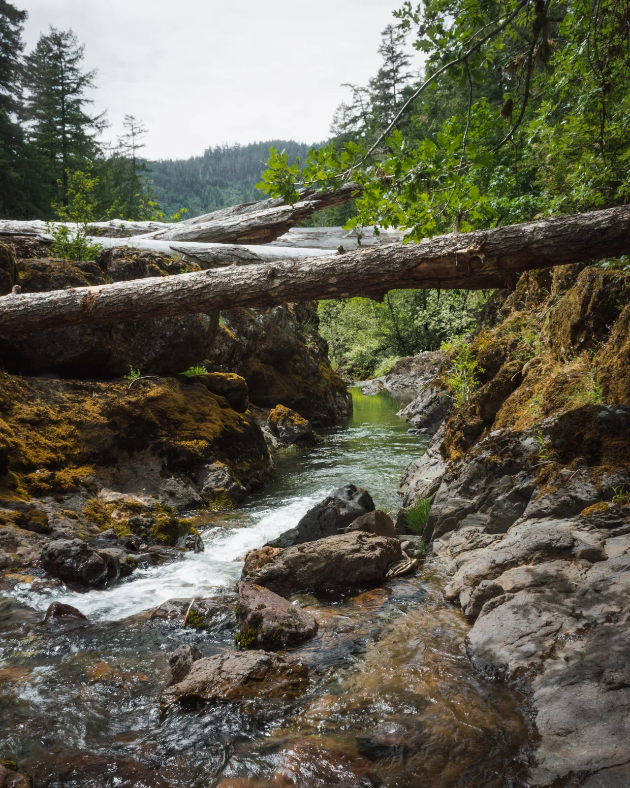
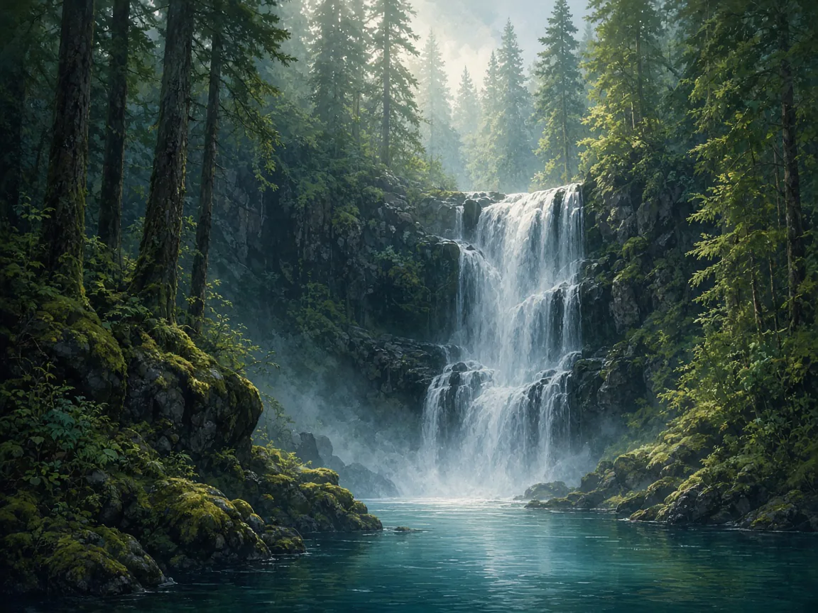
Campbell Falls
WaterfallUSDA Forest Service · Oregon- Hiking Trails
- Trail
 No photo
Chichester Falls
WaterfallUSDA Forest Service · Westfir- Hiking Trails
- Trail
- No photo
Chitwood Falls
WaterfallUSDA Forest Service · Lincoln City- Picnic Area
- Trail
- Hiking Trails
- Parking

Clearwater Falls
WaterfallUSDA Forest Service · Oregon- Hiking Trails
- Trail
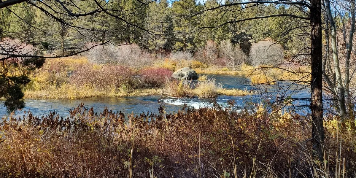
Cline Falls State Scenic Viewpoint
WaterfallBureau of Land Management · Bend- Fishing
- Swimming
- Parking
- Restroom
- No photo
Clover Falls
WaterfallUSDA Forest Service · Oregon- Hiking Trails
- Trail
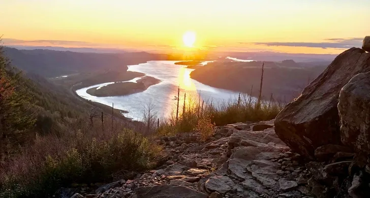
Coopey Falls
WaterfallOregon Parks and Recreation Department · Sandy- Trail
- Accessible Features
- Hiking Trails
- Vista Point
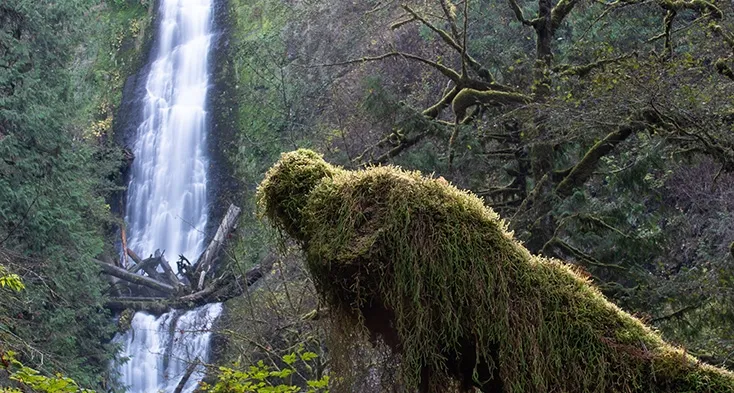
Copper Creek Falls
WaterfallBureau of Land Management · Joseph- Hiking Trails
- Trail
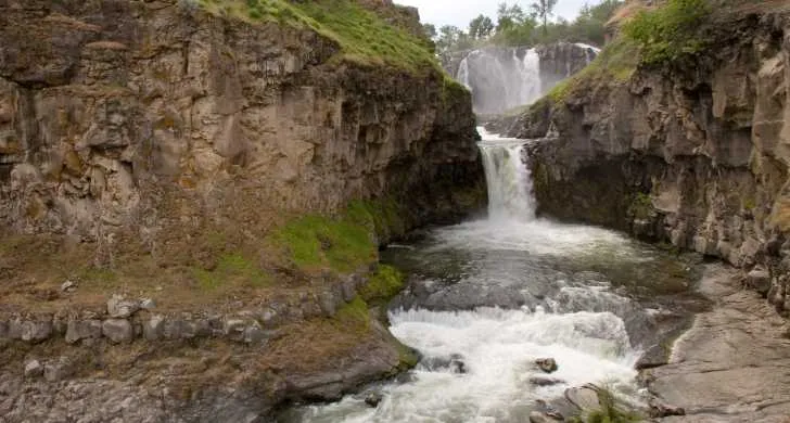
Coquille River Falls
WaterfallUSDA Forest Service · Powers- Hiking Trails
- Trail
- Restroom
- No photo
Cushing Falls
WaterfallThe Dalles Parks · The Dalles- Trail
- Picnic Area
- Restroom
- Hiking Trails

Diamond Creek Falls
WaterfallUSDA Forest Service · Oakridge- Hiking Trails
- Trail
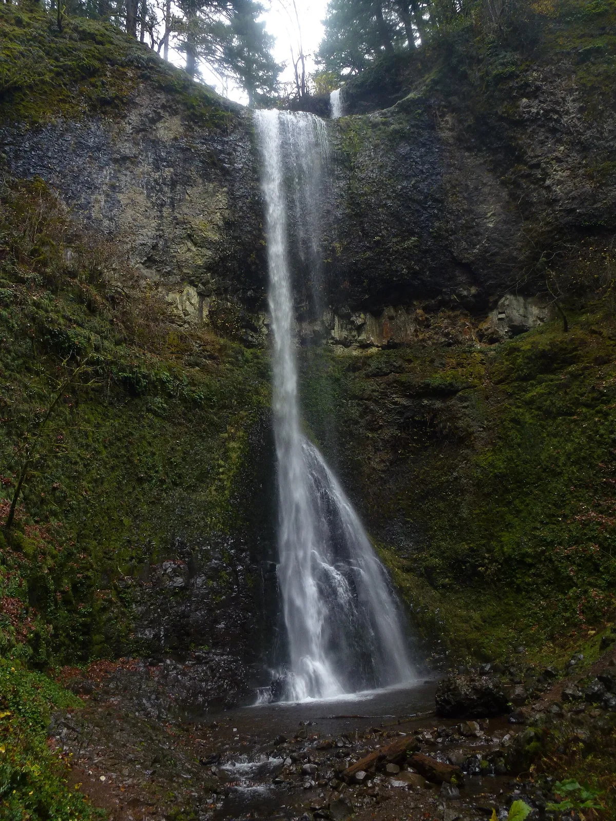
Double Falls
WaterfallOregon State Parks · Lyons- Picnic Area
- Trail
- Accessible Features
- Vista Point
Drake Falls
WaterfallOregon State Parks · Lyons- Picnic Area
- Trail
- Accessible Features
- Vista Point

East Fork Falls
WaterfallBureau of Land Management · Halfway- Hiking Trails
- Trail
Showing 20 of 129. See all in search
FAQ
- What is GNIS?
- The Geographic Names Information System (GNIS) is maintained by the U.S. Geological Survey with the U.S. Board on Geographic Names. It is the federal database of official names and locations for geographic features in the United States — the names component of The National Map.
- What does the “Falls” feature class mean?
- Per USGS GNIS feature-class definitions, Falls means a perpendicular or very steep fall of water in the course of a stream (including cascade, cataract, and waterfall). It is a naming class, not a trail or park designation.
- What information does GNIS provide for a waterfall?
- Typically the official name, state and county, latitude/longitude, feature class, unique Feature ID, related USGS topographic map name(s), and sometimes variant names or brief history. GNIS does not publish waterfall height, hike distance, or difficulty.
- Does a GNIS waterfall mean the public can visit it?
- Not always. GNIS records that a named feature exists at those coordinates. Public access depends on land ownership and the land manager (Forest Service, BLM, OPRD, county, or private). We only treat nearby trails or parks as a visitability signal — still confirm access officially.
- Why don’t Multnomah Falls (and others) show hike stats?
- Distance, elevation gain, and difficulty come only when an open trail GIS dataset provides them. Because those fields are absent from GNIS, we leave them blank rather than invent numbers.
- How are falls chosen for this Oregon hub?
- We import Oregon (state_alpha = OR) features with gaz_featureclass = Falls from the USGS National Map geonames service, then apply our publishability rules (for example proximity to known recreation access) before showing them as destinations.
- Where should I verify conditions before hiking to a fall?
- Use the managing agency: USDA Forest Service, BLM, Oregon State Parks (OPRD), or the county/city listed for the site. Agency alerts cover trail closures, fire restrictions, and seasonal hazards that GNIS does not carry.