
Bridal Veil Falls State Scenic Viewpoint
4.8Google rating(2,649 reviews)Portland · Multnomah County · waterfall · 15.6 acres


Visit
Best for
Essentials
At a glance
- Hours
7:00 AM – 6:00 PM daily
On site
Visitor amenities
…stay a while
- Restroomfacility
- Picnic Areafacility
- Parkingfacility
- Accessible Featuresfacility
…be in nature
- Trailnature
- Vista Pointnature
- Hiking Trailsnature
- Waterfallnature
…culture & learning
- Interpretiveculture
Access
Accessibility
- Wheelchair accessible
- Accessible parking
- Accessible restroom
- Accessible trail
Inferred from amenities/description; confirm on official sources.
Browse wheelchair-accessible parksPark size map
Official park boundary from GIS.
Overview
About this park
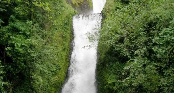
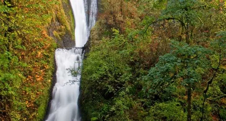
Located just off the Columbia River Highway, at the site of an old lumber mill, this state park features two short hikes, one to beautiful Bridal Veil Falls and the other showcasing views of the Columbia River.
You’ll see dramatic rock formations, including Archer Mountain, Hamilton Mountain, Beacon Rock and the famous geologic edifice known as Pillars of Hercules.
Things to do
Things to do
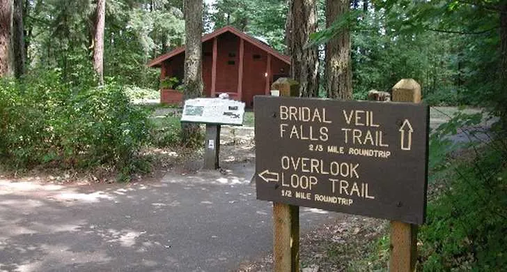
The lower trail is a steep, 0. 3-mile descent to the base of the magnificent waterfall.
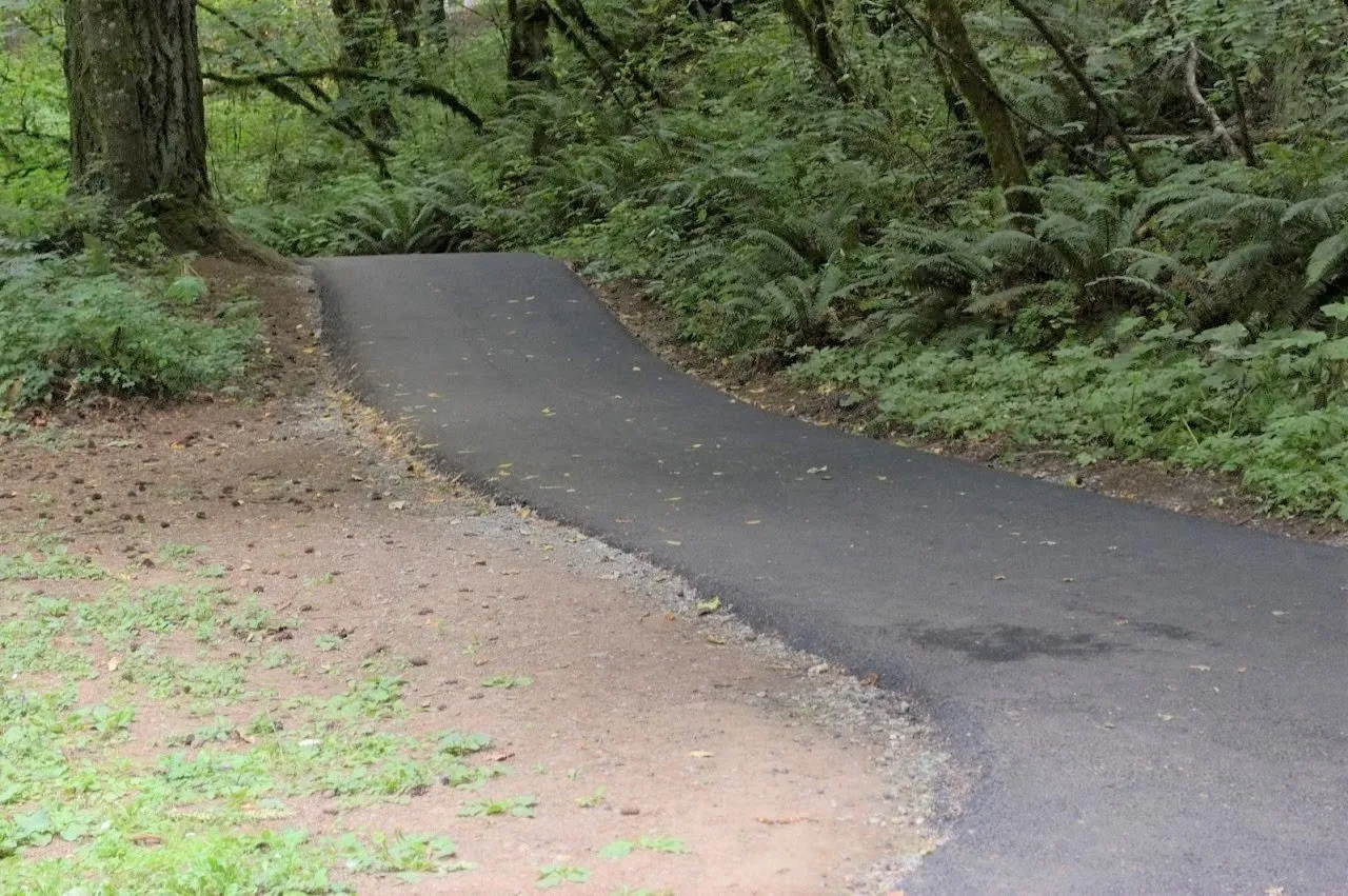
PLEASE view the falls from the trail. The ½-mile Overlook Trail offers magnificent views of the Columbia River along the paved loop.
The trail also passes a patch of forest scarred by the 2017 Eagle Creek Fire.
Signs along the trail point out distinctive native wild plants that grow abundantly in this area, such as camas, lupine, bead lily, trillium and bleeding heart.
Setting
Landscape & setting
The falls duck under the Old Columbia River Gorge Highway's 1914 bridge and over mossy basalt in two tiers, a drop of about 120 feet altogether.
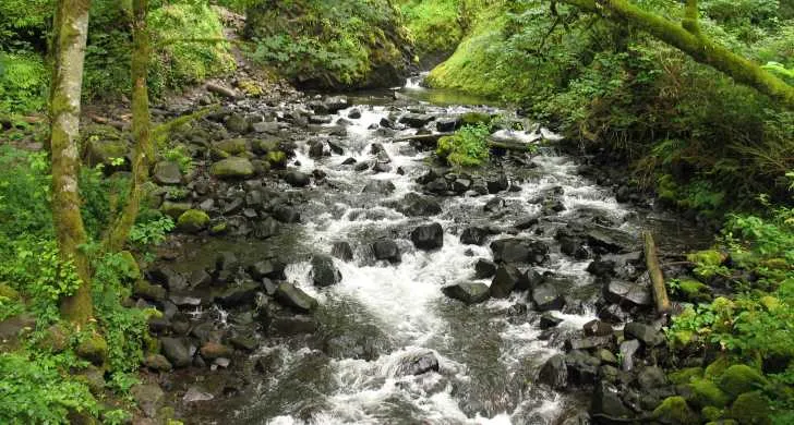
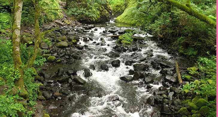
Hikers will pass over Bridal Veil Creek, which originates in nearby Larch Mountain and was once nearly dry, its water diverted by the Bridal Veil Falls Lumbering Company.
Watch for several signs of the property’s mill days: a dike and human-made creek, remnants of old buildings and a corrugated iron shed, the last remaining structure.
A large lawn afford visitors a chance to stretch a blanket in one of the laziest parts of the Columbia River Gorge.
Directions Bridal Veil Falls State Park is located near milepost 28 on the Historic Columbia River Scenic Highway and is accessed off I-84 at Exit 28.
Background
History & notes
Land was acquired by purchase from various owners between 1970 and 1984. It adjoins the site of the old Bridal Veil Timber Company operation. Beginning in 1886, the company employed a flume system to bring in rough cut lumber to its sawmill and the railroad at this location.
Today
Weather
Forecast is advisory — confirm park hours before you go.
Plan your visit
Nearby
More parks in Portland
Data quality
Sources
Confidence checks: coordinates · website · image · hours · amenities (and last verified when known).
Confidence score
85/ 100
Oregon State Parks
- official website
- coordinates
- amenities
- hours
- image
- last verified
Confirm hours on the official page before visiting.