
Grassy Flat Campground
Cave Junction · USDA Forest Service
Camping openOpen season (source): 44701
Visit
Plan a visit
Save this place, get directions, or start a short trip plan. Hours and amenities are listed below.
Search to see a fit score for your needs.
Essentials
At a glance
- Hours
See official page for current hours
- Amenities
On site
Visitor amenities
…stay overnight
- Campingcamping
- Tent Campingcamping
- RV Campingcamping
Location map
Pin location for directions and nearby context.
Overview
About this park
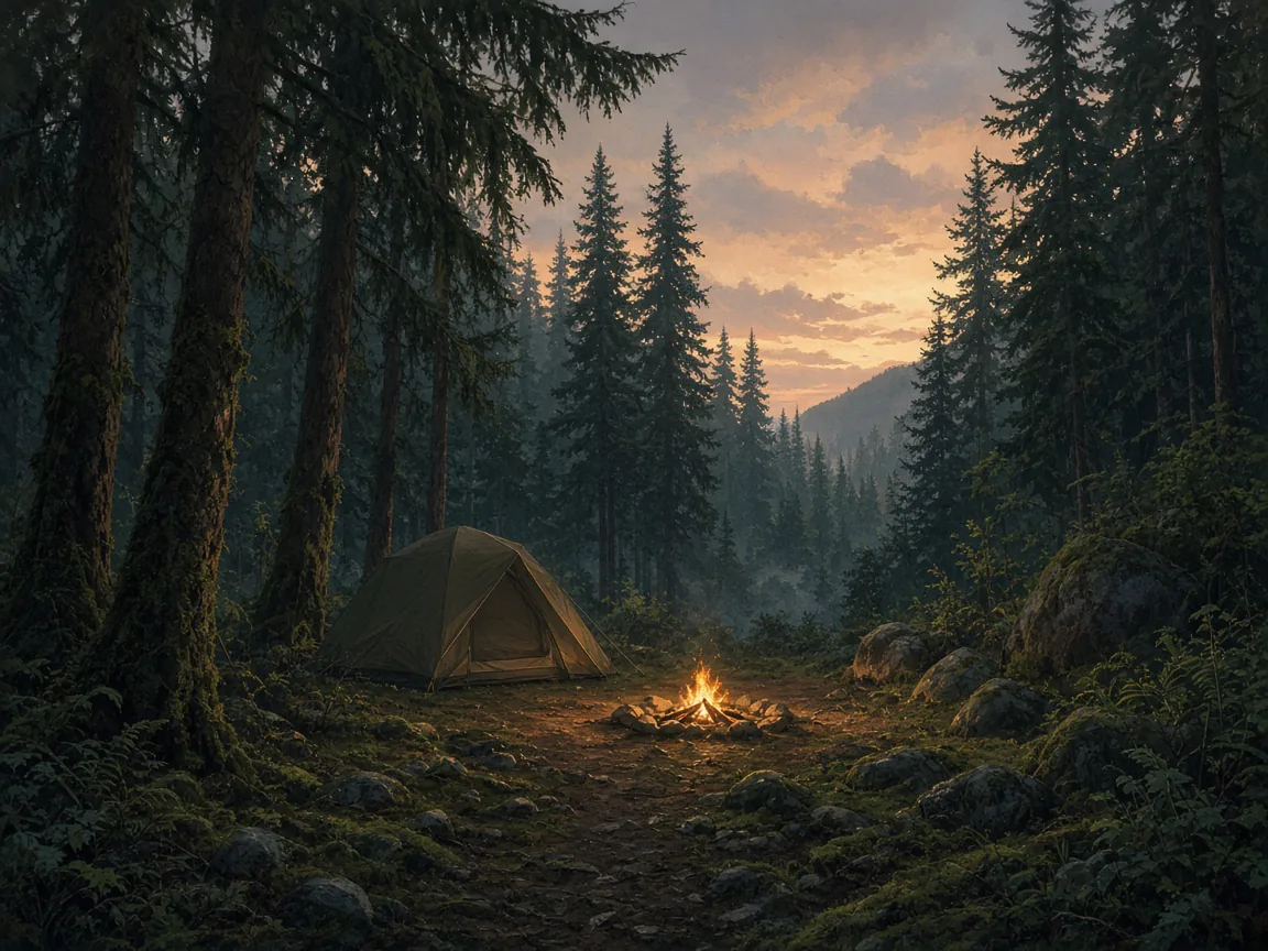
Grassy Flat Campground is adjacent to the Middle Fork of the Smith River. Highway 199 borders the north side. True to its name, it is flat but not grassy.
Campground offers 19 campsites. Maximum trailer length is 32feet.
Access
Access & hours
Trees shade the campground and shrubs fill in the area between sites. River Access: The river is located about 50 feet below the campground.
Easier access is obtained by driving ½ mile east to Madrona River Access where a flat parking areais nearly at the level of a large sandy beach and shallow swimming hole.
Things to do
Things to do
There are no views of it from the campground but a short trail leads to a high view of it from an old bridge.
The trail continues down to a swimming/fishing hole with a small gravel beach. This trail has some steep sections.
Today
Weather
Forecast is advisory — confirm park hours before you go.
Plan your visit
Nearby
More parks in Cave Junction
Data quality
Sources
Confidence checks: coordinates · website · image · hours · amenities (and last verified when known).
Confidence score
76/ 100
USDA Forest Service Recreation Sites (Campgrounds)
- official website
- coordinates
- amenities
- hours
- image
- last verified
Unknown statuses are not treated as open.