
Alderwood State Wayside
4.2Google rating(90 reviews)Eugene · scenic viewpoint · 76.4 acres
Visit
Best for
Essentials
At a glance
- Hours
Open for day use year round
On site
Visitor amenities
…stay a while
- Restroomfacility
- Picnic Areafacility
…be in nature
- Hiking Trailsnature
…near water
- Fishingwater
Access
Accessibility
- Wheelchair accessible
- Accessible parking
- Accessible entrance
Google category: State park Google service options: Wheelchair accessible entrance; Wheelchair accessible parking lot
Browse wheelchair-accessible parksPark size map
Official park boundary from GIS.
On the ground
Trails
Overview
About this park
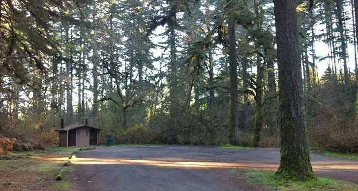
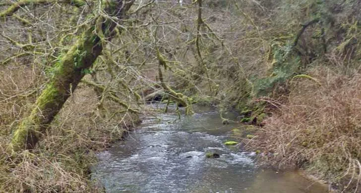
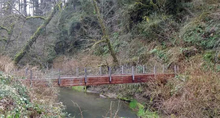
Large trees characterize this forested park along Hwy 36 between Junction City and Triangle Lake. There's a picnic area, restroom, and short trail along the Long Tom River. Bring a lunch and relax!
Background
History & notes
Purchased from Lane County in 1931. Day-use picnic facilities were originally developed by the Civilian Conservation Corps around 1935. According to local lore, during the prohibition era (1920s), liquor was distilled clandestinely at a nearby location called Burp Holler. In 1961, the name was briefly considered for application to the wayside but the proposal was unsuccessful.
Today
Weather
Forecast is advisory — confirm park hours before you go.
Plan your visit
Nearby
More parks in Eugene
Data quality
Sources
Confidence checks: coordinates · website · image · hours · amenities (and last verified when known).
Confidence score
78/ 100
Oregon State Parks
- official website
- coordinates
- amenities
- hours
- image
- last verified
Confirm hours on the official page before visiting.