

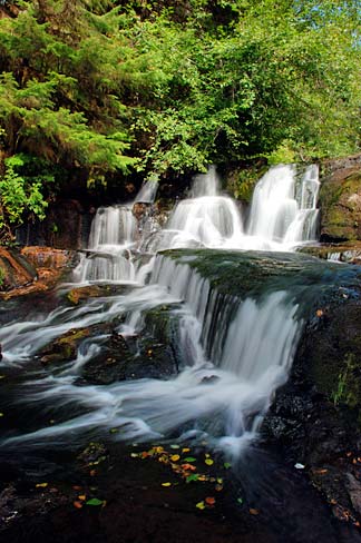
Alsea Falls-1469 Trail
Benton County · trail · easy · 1.07 mi · Aggregate · 160.4 ft gain
Visit
Plan a visit
Save this place, get directions, or start a short trip plan. Hours and amenities are listed below.
Search to see a fit score for your needs.
Essentials
At a glance
- Hours
See official page for current hours
On site
Visitor amenities
…be in nature
- Trailnature
- Bike Pathnature
Trail map
Mapped route from open trail GIS (simplified for the web).
On the ground
Trail facts
- Difficulty
- easy
- Length
- 1.07 mi
- Surface
- Aggregate
- Elevation gain
- 160.4 ft
- Route
- Loop
Overview
About this park
Alsea Falls-1469 Trail is a BLM Oregon/Washington publication trail (open GIS). about 1.07 mapped miles. listed use: Mountain Bike Only. surface often listed as Aggregate.
Today
Weather
Forecast is advisory — confirm park hours before you go.
Nearby
More parks in Oregon
Data quality
Sources
Confidence checks: coordinates · website · image · hours · amenities (and last verified when known).
Confidence score
74/ 100
BLM OR/WA Publication Trails
- official website
- coordinates
- amenities
- hours
- image
- last verified
Unknown statuses are not treated as open.