
Bates State Park
4.5Google rating(51 reviews)John Day · park · 131 acres
Camping openOpen for camping May 1 – Oct 9




Visit
Best for
Essentials
At a glance
- Hours
Open for day use May 1 – Oct 9 · Open for camping May 1 – Oct 9
On site
Visitor amenities
…stay a while
- Restroomfacility
- Picnic Areafacility
- Drinking Fountainfacility
- Accessible Featuresfacility
…be in nature
- Vista Pointnature
- Hiking Trailsnature
…stay overnight
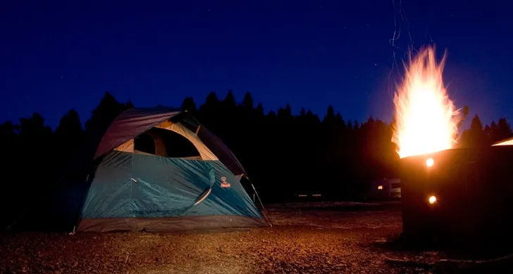
- Campingcamping
…culture & learning
- Interpretiveculture
Access
Accessibility
- Wheelchair accessible
- Accessible parking
- Accessible restroom
- Accessible trail
- Accessible entrance
Inferred from amenities/description; confirm on official sources.
Browse wheelchair-accessible parksPark size map
Official park boundary from GIS.
On the ground
Trails
Overview
About this park
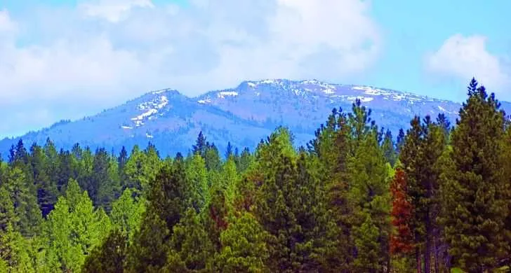
Bates State Park was once the site of a thriving lumber mill and an adjacent company town set in a lush valley in the Blue Mountains. The mill closed in the mid-1970s.
Families--and in some instances their houses--moved to nearby Prairie City and John Day. The mill buildings and town were dismantled; the land sat empty for more than 35 years.
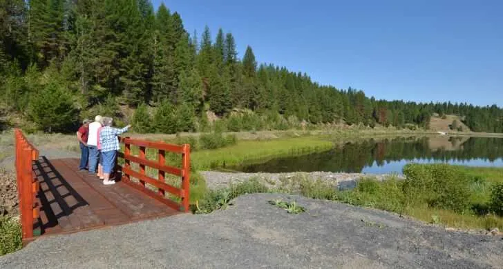
When you visit or stay at the park, look for the interpretive panels that describe Bates life in the early to mid 20th century and the steps taking place now to restore the land and waterways.
Things to do
Things to do
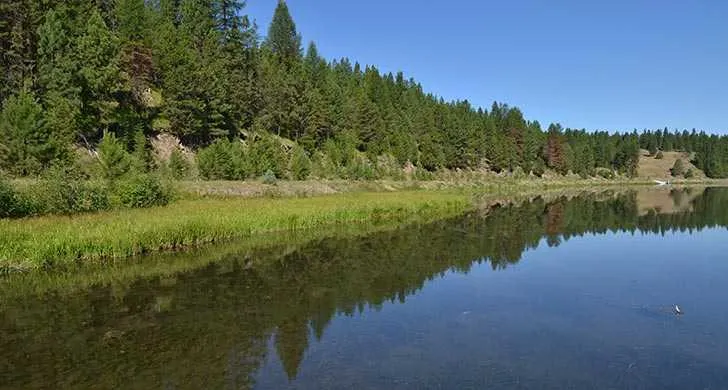
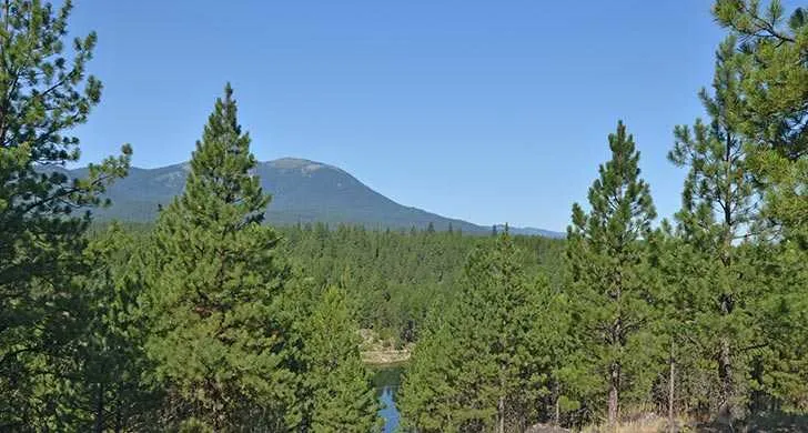
You can explore Bates on the more than three miles of hiking trails. Viewpoints along the trails overlook the park, old mill pond and valley.
The 131-acre park lies along the Middle Fork John Day River, Bridge Creek and Clear Creek. Check the Oregon Department Fish & Wildlife website for fishing regulations.
Background
History & notes
OPRD purchased the property from Grant County for $407,000 in April 2008, using lottery fund dollars. The park is the site of a former lumber mill (Bates Mill), which operated from 1917 to 1975.
Today
Weather
Forecast is advisory — confirm park hours before you go.
Plan your visit
Nearby
More parks in John Day
Data quality
Sources
Confidence checks: coordinates · website · image · hours · amenities (and last verified when known).
Confidence score
85/ 100
Oregon State Parks
- official website
- coordinates
- amenities
- hours
- image
- last verified
Confirm hours on the official page before visiting.