

Camp Lake
Sisters · Deschutes County County · lake · 6.40 acres
Visit
Plan a visit
Save this place, get directions, or start a short trip plan. Hours and amenities are listed below.
Search to see a fit score for your needs.
Essentials
At a glance
- Hours
See official page for current hours
- Amenities
On site
Visitor amenities
…be in nature
- Trailnature
- Horse Trailsnature
- Hiking Trailsnature
Park size map
Official park boundary from GIS.
Overview
About this park
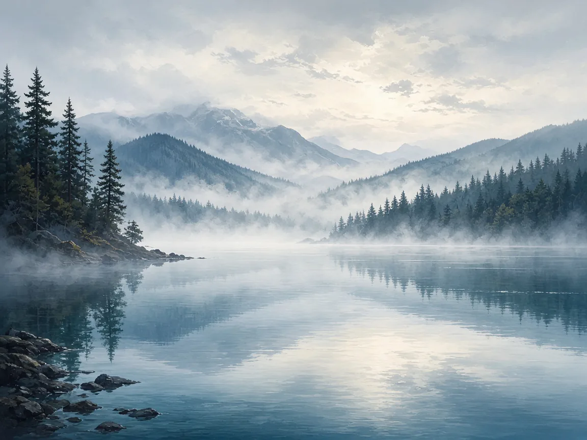
Camp Lake is a small alpine lake in Deschutes County in the U.S. state of Oregon. It lies between the Middle Sister and South Sister volcanic peaks at about 7,000 feet (2,100 m) above sea level in the Three Sisters Wilderness of the Cascade Range. The Camp Lake Trail skirts the lake along its north shore. Camp Lake has a surface area of 6.4 acres (2.6 ha) and a shoreline of about 0.4 miles (0.6 km). The lake forms the headwaters of the south fork of Whychus Creek, a tributary of the Deschutes River.
- Location: Deschutes County, Oregon, United States
- Type: | etymology =
- Shore length: 0.4 mi}}
- Surface elevation: 6968 ft}}
- Max depth: | max_depth =
- Inflow: | outflow =
Setting
Landscape & setting
Lake facts (Wikipedia):
- Surface area: 6.4 acre}}
Access
Access & hours
- Coordinates: |access-date=April 16, 2019}}
Source: https://en.wikipedia.org/wiki/Camp_Lake_(Oregon) (Wikipedia / Wikimedia, CC BY-SA). Verify access, seasons, and regulations with the land manager before visiting.
Background
History & notes
List note: a small lake at 6975 ft|m|abbr=on}} in elevation, northeast of South Sister
Today
Weather
Forecast is advisory — confirm park hours before you go.
Nearby
More parks in Sisters
Data quality
Sources
Confidence checks: coordinates · website · image · hours · amenities (and last verified when known).
Confidence score
76/ 100
USDA Forest Service Trails
- official website
- coordinates
- amenities
- hours
- image
- last verified
Unknown statuses are not treated as open.