
Deschutes River State Recreation Area
4.6Google rating(563 reviews)The Dalles · recreation area · 709 acres
Camping openOpen for camping year round



Visit
Best for
Essentials
At a glance
- Hours
Open for day use year round · Open for camping year round
On site
Visitor amenities
…stay a while
- Restroomfacility
- Picnic Areafacility
- Showerfacility
- Accessible Featuresfacility
…be in nature
- Vista Pointnature
- Wildlife Viewingnature
- Horse Trailsnature
- Bike Pathnature
- Hiking Trailsnature
…near water
- Boat Launchwater
- Fishingwater
…stay overnight
- Campingcamping
…culture & learning
- Interpretiveculture
Access
Accessibility
- Wheelchair accessible
- Accessible parking
- Accessible restroom
- Accessible trail
- Accessible entrance
Inferred from amenities/description; confirm on official sources.
Browse wheelchair-accessible parksPark size map
Official park boundary from GIS.
On the ground
Trails
Overview
About this park
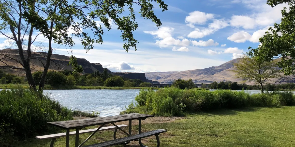
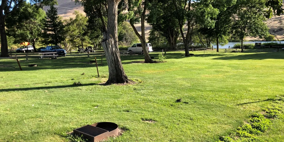
The Deschutes River State Recreation Area is a tree-shaded, overnight oasis for campers and a gateway to the Lower Deschutes Wildlife Area that begins just over a mile south of the park.
Spring comes early to the Deschutes, painting the landscape green for a few months and offering a break from rainy weather further west.
The first wildflowers emerge from winter's grip in late February. Heat starts to build by June, with summer temperatures regularly reaching the 100s.
Things to do
Things to do
The Deschutes River converges with the Columbia at this hub for hiking, mountain biking, camping, whitewater rafting and world-class steelhead and trout fishing.
Park Trails The park has trails for hiking, biking, and horseback riding.
Six miles of looping trails are reserved for hiking only; don't miss the Ferry Springs Trail that loops toward the canyon rim with views of the surrounding hills and the river.
Bring your bicycle and enjoy a 26-mile round-trip ride on the Deschutes River Trail along the east bank of the river.
The trail is an easy, flat grade, but mountain bikes are recommended due to the dirt and gravel surface. Be prepared with a patch kit in case of a flat tire—it’s a long walk back.
Backcountry camping is allowed along the trail. Bicycles are also welcome on the 2-mile Rock Pile trail that follows the west bank of the river.
From March 1 through June 30, equestrians can ride on 11 miles of the Deschutes River Trail route. Go to the Park Store to reserve your trip.
Setting
Landscape & setting
Wild and Scenic Deschutes River The Deschutes River begins high in the Cascade Mountains and travels 252 miles north to the Columbia.
The last 100 miles of the river's path is known as the Lower Deschutes.
This section is designated as a National Wild and Scenic River and an Oregon Scenic Waterway for its outstanding scenery, e
Background
History & notes
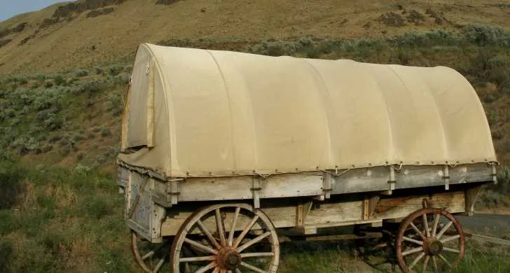
The Lower Deschutes has a rich cultural history, providing sustenance for thousands of years to the Warm Springs and Wasco people moving seasonally through the area. Members of the Confederated Tribes of Warm Springs retain their fishing rights and can be seen dip net fishing the traditional way on platforms over the river just below Sherars Falls. Exploration and fur trapping began in the Deschutes Canyon in the early 19th century. Other historic activities that have been documented include use of the Oregon Trail, road and railroad construction and settlement. The state acquired the park land between 1963 and 1983 by purchase from various owners, transfer by the U. S. Army Corps of Engineers, and gifts of land from the Oregon Wildlife Heritage Foundation. The original tract for the area was 30 acres purchased in 1963 from the Columbia-Deschutes Power Company. This tract, with some of the later acquisitions, forms the developed portion of a riverside recreation complex. Adjoining the State Recreation Area is the Deschutes River Scenic Waterway. The lower Deschutes River from Pelton Dam to the Columbia River, some 104 river miles, was designated an Oregon Scenic Waterway in 1970. The purpose is to protect and enhance scenic, recreational, fish and wildlife values along the river while allowing public use of the river for boating, fishing and riverside camping. The Oregon Parks and Recreation Department manages the waterway in cooperation with Sherman and Wasco counties, U. S. Bureau of Land Management, Confederated Tribes of the Warm Springs Reservation, Oregon Fish and Wildlife Department, State Marine Board and Oregon State Police.
Today
Weather
Forecast is advisory — confirm park hours before you go.
Plan your visit
Nearby
More parks in The Dalles
Data quality
Sources
Confidence checks: coordinates · website · image · hours · amenities (and last verified when known).
Confidence score
85/ 100
Oregon State Parks
- official website
- coordinates
- amenities
- hours
- image
- last verified
Confirm hours on the official page before visiting.