
Elowah Falls Trailhead (John B. Yeon)
4.4Google rating(82 reviews)Hood River · park · 219 acres





Visit
Plan a visit
Save this place, get directions, or start a short trip plan. Hours and amenities are listed below.
Search to see a fit score for your needs.
Essentials
At a glance
- Hours
Open for day use year round
On site
Visitor amenities
…stay a while
- Accessible Featuresfacility
…be in nature
- Vista Pointnature
- Bike Pathnature
- Hiking Trailsnature
…culture & learning
- Interpretiveculture
Access
Accessibility
- Wheelchair accessible
- Accessible trail
Inferred from amenities/description; confirm on official sources.
Browse wheelchair-accessible parksLocation map
Pin location for directions and nearby context.
Park size map
Approximate footprint based on 219 acres.
On the ground
Trails
Overview
About this park
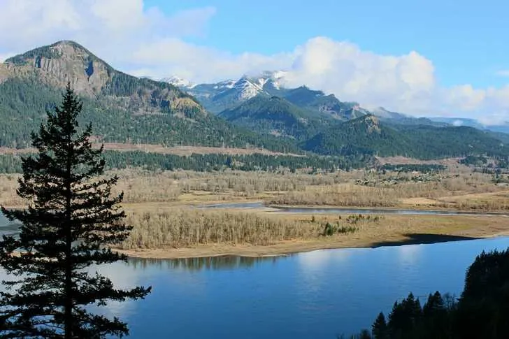
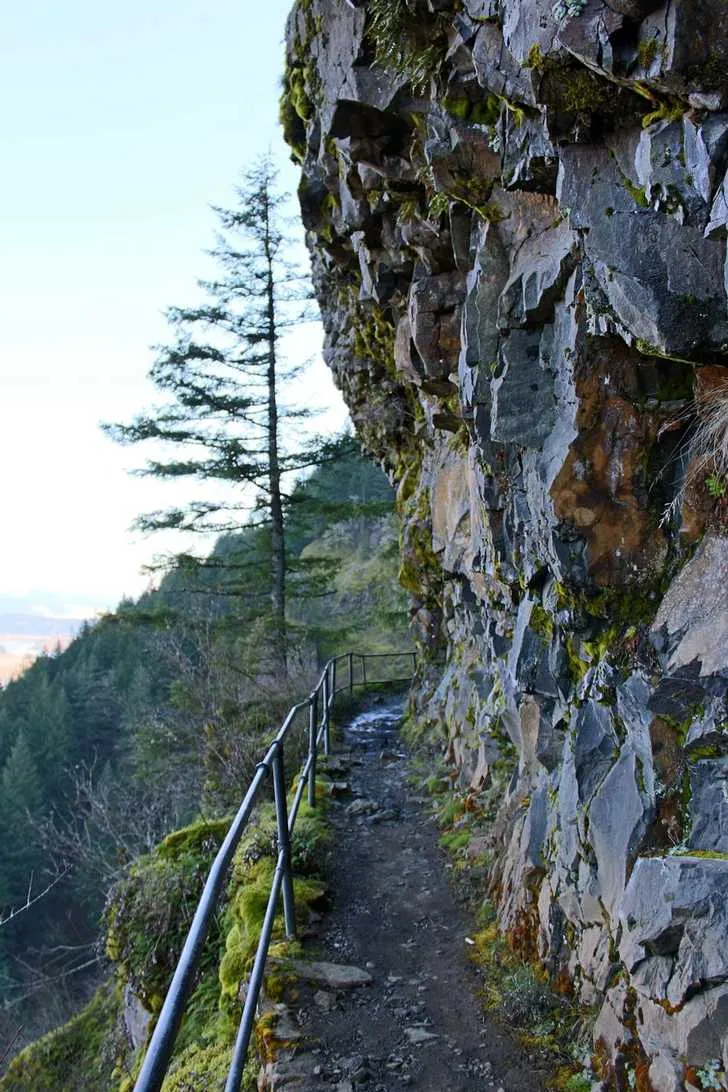
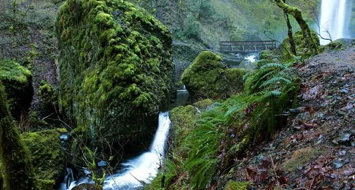
John B. Yeon is a parking area and trailhead for hikes to two of the most beautiful and secluded waterfalls in the Columbia River Gorge: Elowah Falls and McCord Creek Falls.
5 miles to the Bridge of the Gods Trailhead at Cascade Locks.
The following devices are not allowed: electric scooters, mountain boards, electric u
Things to do
Things to do
The trailhead also marks the west end of the Bonneville Segment of the Historic Columbia River Highway State Trail . Walk or bike the paved trail 5.
The trail starts on the south side of I-84 and passes through a forested area where damage from the Eagle Creek Fire is apparent.
The trail crosses to the south side of I-84 and takes the historic Moffett Creek Bridge over the creek. It then travels along the Columbia River, with views of Bonneville Dam.
The trail then scales Tooth Rock, with eastbound traffic passing through the tunnel below, delivering visitors back on the south side of I-84.
Just west of the Eagle Creek Trailhead, the trail climbs a 40-foot tall staircase equipped with bike wheel grooves.
Visitors will pass the Cascade Fish Hatchery , which offers self-guided tours and the opportunity to see spawning salmon in the fall.
The trail passes Ruckel Creek and a small, charming waterfall before reaching Cascade Locks. Several U. S.
Forest Service trails intersect this segment of the trail, including the Pacific Crest Trail.
Plan your trip with the Historic Columbia River Highway State Trail bicycle and hiking map . The park is named for John B.
Know Before You Go A 40-foot staircase equipped with bike wheel grooves is at the Eagle Creek Trailhead.
Setting
Landscape & setting
After passing Toothrock Trailhead , visitors will see more damage — and rejuvenation — from the Eagle Creek Fire along the way to the Eagle Creek Trailhead .
Yeon, one of the principal architects of the Historic Columbia River Highway.
Pet policy
Dogs & pets
Dogs are allowed on the Historic Columbia River Highway State Trail, but must be on a leash no longer than 6 feet at all times. E-bikes are allowed on the state trail.
Background
History & notes
The park was purchased from various owners between 1935 and 1956. The falls were named Elowah in 1915 by a committee of the Mazamas and other organizations. In 1935, the Civilian Conservation Corps constructed a bridge across McCord Creek and 1.5 miles of foot trail. The park was named for John B. Yeon (1865-1928) pioneer lumberman and realtor of Portland. He was a prime supporter of the Columbia River Highway. As Multnomah County Roadmaster from 1913 to 1917, Yeon supervised initial construction of the highway, complimenting his salary and backing the project financially. He served on the Oregon Highway Commission in the years 1920-1923.
Today
Weather
Forecast is advisory — confirm park hours before you go.
Plan your visit
Nearby
More parks in Hood River
Data quality
Sources
Confidence checks: coordinates · website · image · hours · amenities (and last verified when known).
Confidence score
80/ 100
Oregon State Parks Website
- official website
- coordinates
- amenities
- hours
- image
- last verified
Confirm hours on the official page before visiting.