
Historic Columbia River Highway State Trail - Bridge of the Gods Trailhead
4.7Google rating(55 reviews)Hood River · park · 260 acres



Visit
Best for
Essentials
At a glance
- Hours
6:00 AM – 10:00 PM daily
On site
Visitor amenities
…stay a while
- Accessible Featuresfacility
…be in nature
- Vista Pointnature
- Wildlife Viewingnature
- Bike Pathnature
- Hiking Trailsnature
Access
Accessibility
- Wheelchair accessible
- Accessible parking
- Accessible trail
- Accessible entrance
Inferred from amenities/description; confirm on official sources.
Browse wheelchair-accessible parksLocation map
Pin location for directions and nearby context.
Park size map
Approximate footprint based on 260 acres.
On the ground
Trails
Overview
About this park
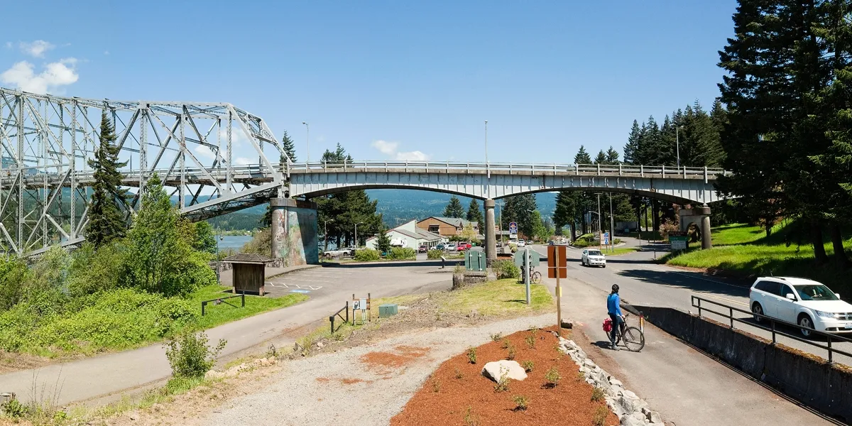
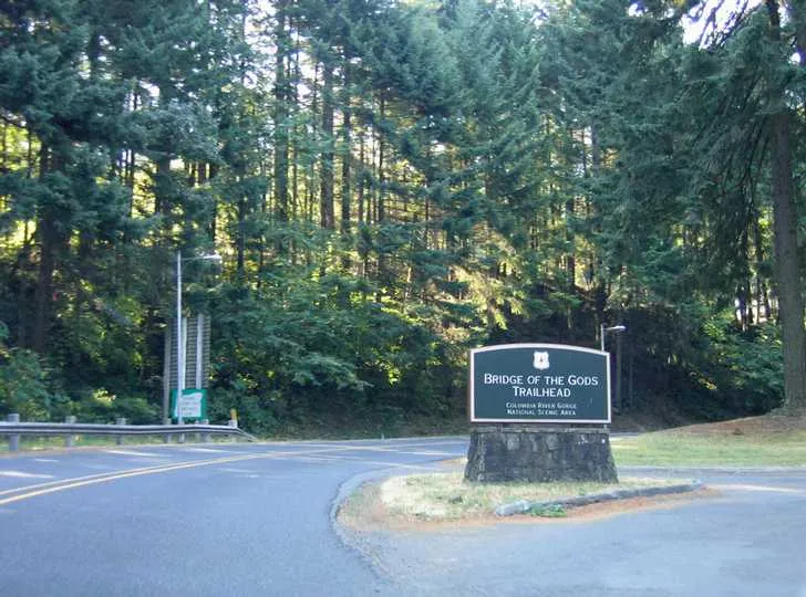
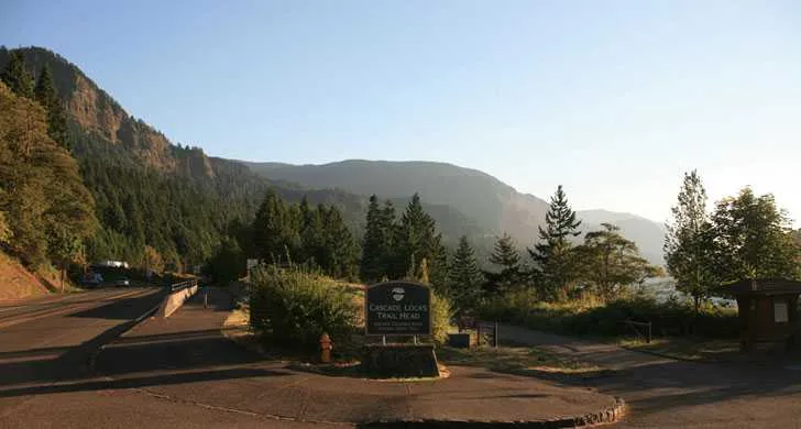
The Bridge of the Gods Trailhead in Cascade Locks marks the east end of the 5.
The following devices are not allowed: electric scooters, mountain boards, electric unicycles, and other similar devices.
For more information, please call Viento State Park at 541-374-8811.
Things to do
Things to do
5-mile Bonneville Segment of the Historic Columbia River Highway State Trail that connects with John B. Yeon trailhead .
Th first mile of the trail passes Ruckel Creek and a small, charming waterfall on its way to the Eagle Creek Trailhead and the Cascade Fish Hatchery , which offers the opportunity to see Chinook and coho salmon spawning in Eagle Creek each fall.
The trail is accessible to this point. Just west of Eagle Creek Day-use Area, the trail climbs a 40-foot tall staircase equipped with bike wheel grooves.
The trail then scales Tooth Rock, eastbound traffic passing through the tunnel below, and delivers visitor on the north side of I-84.
The trail offers spectacular views of Bonneville Dam while traveling along the river to the historic Moffett Creek Bridge.
The trailhead is beneath the bridge. For information, see the Historic Columbia River Highway State Trail bicycle and hiking map .
Know Before You Go A 40-foot staircase equipped with bike wheel grooves is at the Eagle Creek Trailhead.
Setting
Landscape & setting
From here visitors travel through woods that show damage and regeneration following the 2017 Eagle Creek Fire.
Then visitors cross back to the south side of I-84 and go through a forested area where damage from the Eagle Creek Fire is again apparent. Several U. S.
Pet policy
Dogs & pets
Dogs are allowed on the Historic Columbia River Highway State Trail, but must be on a leash no longer than 6 feet at all times. E-bikes are allowed on the state trail.
Background
History & notes
The Historic Columbia River Highway was designed by Samuel Lancaster and constructed between 1913 to 1922. Its purpose was not merely to provide an east-west transportation route through the Columbia River Gorge, but to take full advantage of every natural aspect, scenic feature, waterfall, viewpoint and panorama. When bridges or tunnels were designed, they stood by themselves as artistic compliments to the landscape. The Columbia River Highway served millions of travelers and became one of the grandest highways in the nation. When transportation needs required faster and larger roads, sections of the old highway were bypassed. By 1960, a new interstate highway had replaced nearly all of the older road. The four-mile stretch of old highway between Hood River and Mosier, including the Mosier Twin Tunnels, was closed, filled with rock and abandoned. In the 1980s, new interest in the old scenic highway began to resurface. Lost sections of highway were identified, unearthed and studied for potential renovation. Some portions of the original route were covered by I-84 when it was built. An ambitious restoration began with the removal of rock from the Mosier Twin Tunnels. Restoration took several months. When workers were done, several surprises were unearthed, such as graffiti dating back to 1921 (when drivers were snowbound for several days). By The highway is owned and maintained by ODOT; the state trail is managed by the Parks and Recreation Department. In 2000, the highway was designated a National Historic Landmark, and in 2002, the state trail was designated a National Recreation Trail. One Great Road video about the restoration and economic value to the community.
Today
Weather
Forecast is advisory — confirm park hours before you go.
Plan your visit
Nearby
More parks in Hood River
Data quality
Sources
Confidence checks: coordinates · website · image · hours · amenities (and last verified when known).
Confidence score
80/ 100
Oregon State Parks Website
- official website
- coordinates
- amenities
- hours
- image
- last verified
Confirm hours on the official page before visiting.