

Latourell Falls Trailhead (Guy W. Talbot)
4.8Google rating(1,707 reviews)Portland · park · 392 acres







Visit
Best for
Essentials
At a glance
- Hours
7:30 AM – 9:00 PM daily
On site
Visitor amenities
…stay a while
- Restroomfacility
- Picnic Areafacility
- Parkingfacility
…be in nature
- Trailnature
- Vista Pointnature
- Hiking Trailsnature
…culture & learning
- Interpretiveculture
Access
Accessibility
- Wheelchair accessible
- Accessible parking
Google category: Located in: Guy W. Talbot State Park Google service options: Wheelchair accessible parking lot
Browse wheelchair-accessible parksPark size map
Official park boundary from GIS.
On the ground
Trails
Overview
About this park
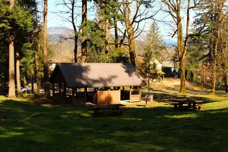
A gently sloping grassy hill dotted with Port Orford cedars, Douglas-firs, alders and maples invites frisbee tossing and quiet relaxation.
Latourell Falls Loop hike: For a moderately difficult hike, take a short staircase up to the highway and carefully cross over to the Latourell Falls Loop trailhead.
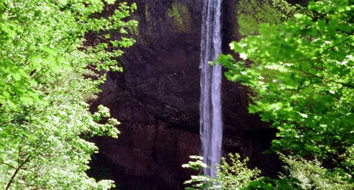
Finally , hikers arrive at Upper Latourell Falls, the third tallest waterfall in the Columbia Gorge.
Guy Webster Talbot and his family used this property as a summer estate until 1929 when they donated it to the state.
The tiny town of Latourell borders the north side of the park. Homeowners ask that visitors please respect their privacy.
On site
Amenities & facilities
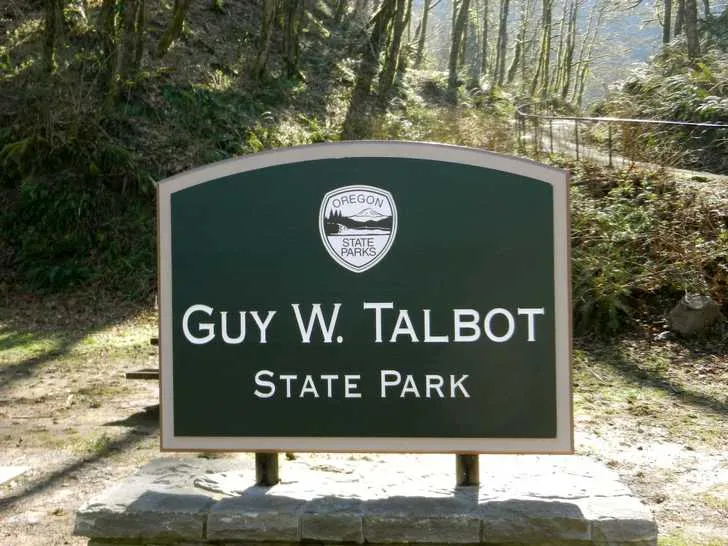
Talbot State Park — also called Latourell State Park — is a peaceful picnic site located on the Historic Columbia River Highway across from the trail to Upper Latourell Falls.
The secluded park is often uncrowded even on the best days. A modern picnic shelter is available for rent.
Things to do
Things to do
This popular 2-mile trail passes over some rocky areas, through dense foliage and over four small wooden bridges, then follows Latourell Creek.
The upper falls and part of the trail are part of George W. Joseph State Natural Area, named for the family that gave the land to the state in 1934 and 1942.
Setting
Landscape & setting
It’s a two-tiered drop: first a block fall that’s almost hidden and then a plunge into a pool. The hike returns to the highway along the opposite bank of Latourell Creek.
Background
History & notes
Guy Webster and Geraldine Talbot gave the original 125 acres in 1929. Guy W. Talbot (1873-1961) was president of Pacific Power and Light Company and lived on the tract at the time of the gift. Multnomah County gave additional land in 1935, and sold further acreage to the state in 1952. Lands also were given by the Eva Larson Estate. The balance of the property was purchased from various owners up to 1984. Some of the park's early development was carried out by the Civilian Conservation Corps between 1933 and 1935.
Today
Weather
Forecast is advisory — confirm park hours before you go.
Plan your visit
Nearby
More parks in Portland
Data quality
Sources
Confidence checks: coordinates · website · image · hours · amenities (and last verified when known).
Confidence score
84/ 100
Oregon State Parks
- official website
- coordinates
- amenities
- hours
- image
- last verified
Confirm hours on the official page before visiting.