
Mitchell Point Trailhead
4.7Google rating(421 reviews)Hood River · park · 667 acres




Visit
Plan a visit
Save this place, get directions, or start a short trip plan. Hours and amenities are listed below.
Search to see a fit score for your needs.
Essentials
At a glance
- Hours
See official page for current hours
- Amenities
On site
Visitor amenities
…be in nature
- Hiking Trailsnature
Location map
Pin location for directions and nearby context.
Park size map
Approximate footprint based on 667 acres.
On the ground
Trails
Overview
About this park
Michell Point Trailhead provides access to two trails that wind through Wygant State Natural Area: Wygant Trail starts on the west end of the parking lot and Michell Point Trail takes off from the east end.
Access
Access & hours
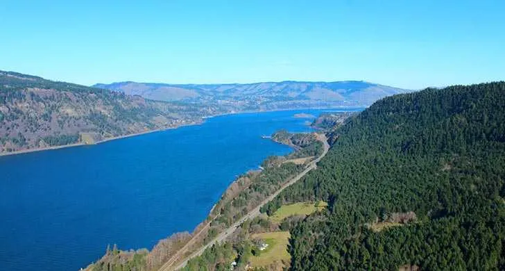
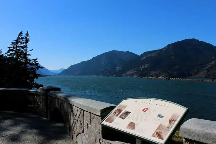
A short walk from the parking area affords amazing views of the Gorge and provides interpretive displays about the historic Mitchell Point Tunnel .
Setting
Landscape & setting
Constructed in 1915 as part of the Historic Columbia River Highway, the tunnel was closed in 1953 because it could no longer accommodate high traffic volumes and car sizes.
Things to do
Things to do
It was destroyed in 1966 to widen Interstate 84. A project is underway to build a new crossing that would connect segments of the Historic Columbia River Highway State Trail .
Wygant Trail is 8 miles out and back with an elevation gain around 2,300 feet. It first follows and abandoned section of Historic Columbia River Highway.
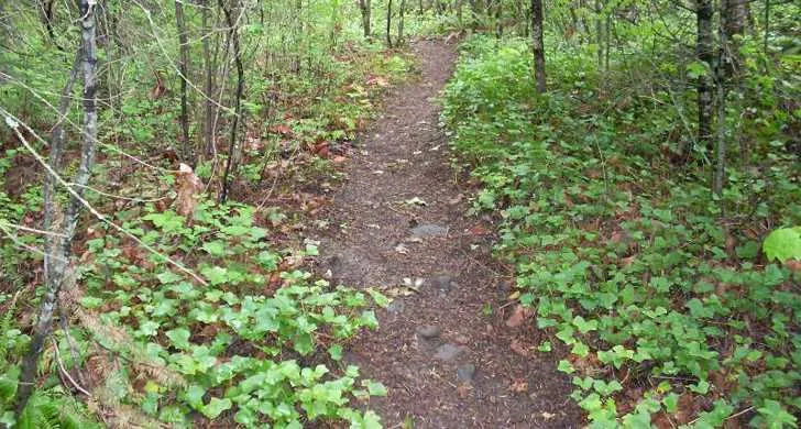
As it transitions to wilderness, the trail dives into a dense forest hillside along a gurgling creek, then follows switchback up to the summit with a few views of the Gorge along the way.
The summit view is obscured by a grove of dense Douglas firs. Follow a game trail to a meadow to see glimpses of that original view that inspired the trail.
Mitchell Point Trail is 2. 6 miles up and back with an elevation gain around 1,300 feet.
The trail follows a series of switchbacks until a crest with incredible views of the Columbia River and rock formations on the Washington side.
Know Before You Go Winter storms frequently damage trails within the Mitchell Point area. Check oregonhikers. org for current trail conditions.
Pet policy
Dogs & pets
Report trail conditions: 541-374-8811. Dogs are allowed on trails but must be on a leash no longer than 6 feet.
Background
History & notes
Land for Wygant State Natural Area was acquired between 1933 and 1978 by purchase and gift. The original 251.50 acres were given by Simeon Reed Winch and his wife, Olivia, and mother, Nellie, in 1933 in honor of Winch's grandparents, Theodore and Margaret Wygant. Theodore Wygant was an Oregon Trail pioneer of 1850. The Highway Commission agreed to commemorate the Wygants with the park’s name. Hood River County also gave land to the park. This park adjoins Seneca Fouts Memorial and Vinzenz Lausmann near Mitchell Point. The Civilian Conservation Corps built the trailhead and trails in the 1930s.
Today
Weather
Forecast is advisory — confirm park hours before you go.
Plan your visit
Nearby
More parks in Hood River
Data quality
Sources
Confidence checks: coordinates · website · image · hours · amenities (and last verified when known).
Confidence score
72/ 100
Oregon State Parks Website
- official website
- coordinates
- amenities
- hours
- image
- last verified
Unknown statuses are not treated as open.