
Munson Creek Falls State Natural Site
4.6Google rating(127 reviews)Tillamook · natural area · 61.9 acres

Visit
Best for
Essentials
At a glance
- Hours
Open for day use year round
- Amenities
On site
Visitor amenities
…stay a while
- Picnic Areafacility
…be in nature
- Vista Pointnature
- Hiking Trailsnature
Access
Accessibility
- Wheelchair accessible
Inferred from amenities/description; confirm on official sources.
Browse wheelchair-accessible parksPark size map
Official park boundary from GIS.
On the ground
Trails
Overview
About this park
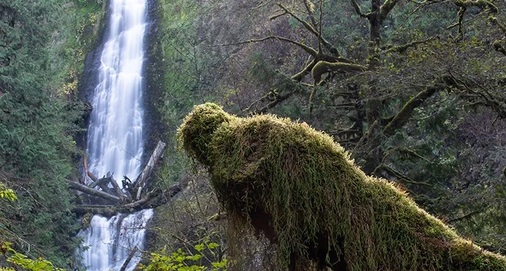
Munson Creek Falls tumbles 319' over several tiers, making it the tallest waterfall in the Coast Range.
During the late fall through the winter, watch the waters for spawning salmon just below the surface.
Things to do
Things to do
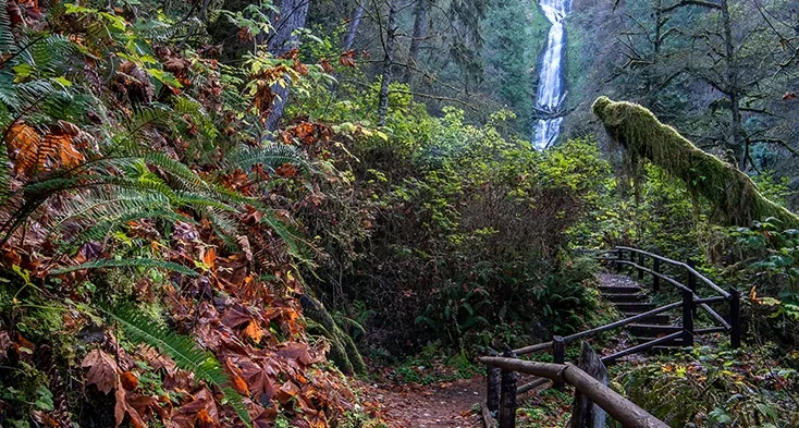
A short trail winds along Munson Creek through an old-growth forest to a viewpoint of the waterfall.
The ¼ mile trail is accessible for all ages and every level of hiking enthusiast. Spring and summer bring blooming trillium, corydalis and violets beneath the forest canopy.
Setting
Landscape & setting
Come fall, the big leaf maples and red alders are ablaze with color. Munson Creek is vital salmon habitat.
Background
History & notes
In 1999, the Western Rivers Conservancy deeded land surrounding Munson Creek Falls to the Oregon Parks and Recreation Department. Simpson Timber Company sold the land along Munson Creek to the Western Rivers Conservancy for one-half of its appraised value. Funds for the purchase were donated by the Paul Allen Forest Protection Foundation.
Today
Weather
Forecast is advisory — confirm park hours before you go.
Plan your visit
Nearby
More parks in Tillamook
Data quality
Sources
Confidence checks: coordinates · website · image · hours · amenities (and last verified when known).
Confidence score
76/ 100
Oregon State Parks
- official website
- coordinates
- amenities
- hours
- image
- last verified
Confirm hours on the official page before visiting.