Rotary Park

Myrtle Point · Coos County · park
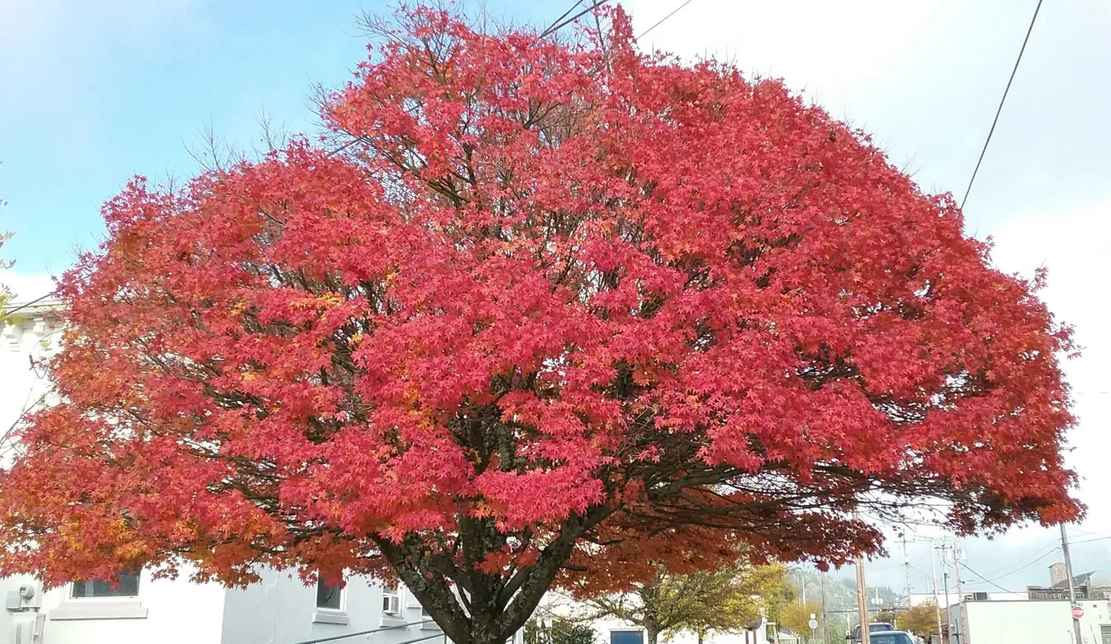
Photo of Rotary Park

Visit

Plan a visit

Save this place, get directions, or start a short trip plan. Hours and amenities are listed below.

Search to see a fit score for your needs.

Compare nearby

Essentials

At a glance

Published hours and a quick amenity skim — confirm on the official page before you go.

On site

Visitor amenities

Grouped from public park records — confidence may vary by source.

…stay a while

  • Picnic Areafacility
  • Shelterfacility

…play & family

  • Playgroundfamily

…get active

  • Tennis Courtsports
  • Pickleball Courtsports

Location map

Pin location for directions and nearby context.

Loading map…

Overview

About this park

Myrtle Point’s most diverse and frequented city park, along C Street between Harris and Doborout Streets near Highway 42.

On site

Amenities & facilities

Features an updated 5–12 play structure, tennis courts, pickleball, horseshoe pits, a gazebo, and a covered picnic area.

Today

Check conditions before you go

Weather

Loading forecast…

Forecast is advisory — confirm park hours before you go.

Getting there

C St between Harris & Doborout St (near Hwy 42), Myrtle Point, OR 97458
Compare parks

Plan your visit

Nearby

More parks in Myrtle Point

Nearby options if this one isn’t the right fit.

Data quality

Sources

Check the official source for current hours and closures. Amenities are from public park records and may change seasonally. The agency page remains the source of record.

Confidence checks: coordinates · website · image · hours · amenities (and last verified when known).

Confidence score

80/ 100

Myrtle Point Parks Website

  • official website
  • coordinates
  • amenities
  • hours
  • image
  • last verified

Unknown statuses are not treated as open.

Oregon Outdoor AtlasOregonOutdoor Atlas

Explore More. Discover Oregon.

Discover Oregon's parks, trails, waterfalls, lakes, beaches, and campgrounds. Explore outdoor destinations, plan your next adventure, and share your experiences.

Always verify hours, fees, fire restrictions, and access with the managing agency before you go.

Place records are compiled from USDA Forest Service, BLM, OPRD, Metro, city parks agencies, OCMP coastal access, USGS GNIS, and other official open sources. We do not invent hours, fees, or live availability.

© 2026 Oregon Outdoor AtlasAll rights reserved.

Built for Oregon outdoor exploration — not affiliated with any land management agency.