
Hoquarton Interpretive Trail
Tillamook · Tillamook County · trail

Visit
Plan a visit
Save this place, get directions, or start a short trip plan. Hours and amenities are listed below.
Search to see a fit score for your needs.
Essentials
At a glance
- Hours
See official page for current hours
On site
Visitor amenities
…be in nature
- Trailnature
…near water
- Fishingwater
Trail map
Trailhead pin — full line geometry is not in open data for this route yet.
Overview
About this park
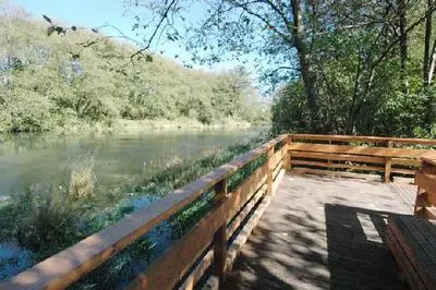
HOQUARTON INTERPRETIVE TRAIL AKA HOQUARTON LANDING The Hoquarton Slough once served as a water route to the City of Tillamook, Oregon, for supply, passenger, and fishing boats entering Tillamook Bay from the Pacific Ocean.
Before Pioneer settlement, the Tillamook Indian Tribe hunted and fished in and around the slough’s rich natural environment.
The park is Located along the banks of the slough just one block north of the heart of the downtown area next to the new four-lane bridge at Front Street and Highway 101.
It began with a multi-year process that combined ideas and concepts developed by dozens of local citizens, elected officials and repr
Things to do
Things to do
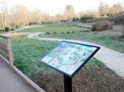
The Hoquarton Interpretive Trail was built in a cooperative effort between the City, volunteers and a number of granting agencies.
In the early 2000’s the trail and park areas were cleared of invasive plants and restored to its natural vegetation.
Today
Weather
Forecast is advisory — confirm park hours before you go.
Plan your visit
Nearby
More parks in Tillamook
Data quality
Sources
Confidence checks: coordinates · website · image · hours · amenities (and last verified when known).
Confidence score
74/ 100
Tillamook Parks Website
- official website
- coordinates
- amenities
- hours
- image
- last verified
Unknown statuses are not treated as open.