
South Waterfront Greenway
4.6Google rating(137 reviews)Portland · Multnomah County · trail · moderate · 0.02 mi · Hard Surface
Visit
Plan a visit
Save this place, get directions, or start a short trip plan. Hours and amenities are listed below.
Search to see a fit score for your needs.
Essentials
At a glance
- Hours
5:00 AM to midnight daily Accessibility Information Parking - Parking lot & street parking are available within neighborhood (not dedicated to the park) - Paved sidewalk into park - 475 feet from parking options to the park Other Amenities - Accessible riverfront overlooks - Accessible pedestrian paved pathway along river
On site
Visitor amenities
…stay a while
- Visitor Centerfacility
…be in nature
- Trailnature
- Bike Pathnature
- Hiking Trailsnature
…near water
- River Accesswater
…culture & learning
- Public Artculture
Access
Accessibility
- Wheelchair accessible
- Accessible parking
- Accessible trail
- Accessible entrance
Inferred from amenities/description; confirm on official sources.
Browse wheelchair-accessible parksTrail map
Mapped route from open trail GIS (simplified for the web).
On the ground
Trail facts
- Difficulty
- moderate
- Length
- 0.02 mi
- Surface
- Hard Surface
Overview
About this park
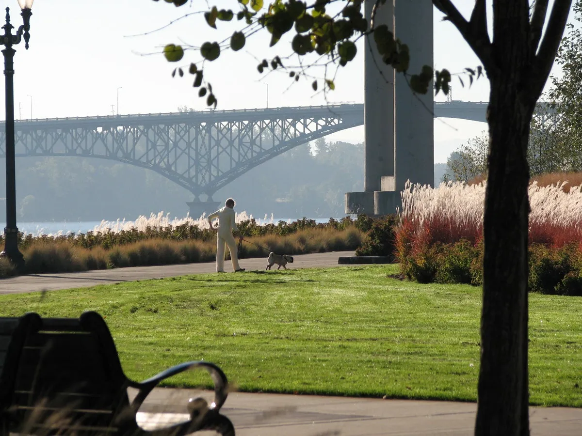
The Greenway, which stretches from the Marquam Bridge south to the River Forum Building, will strive to balance the needs of the public and the health of the Willamette River.
Things to do
Things to do
The City of Portland's South Waterfront Plan envisioned a system of parks working together to enliven the neighborhood, stimulate development activity in the area, and provide for the recreational needs of area residents.
Background
History & notes
Environmental Requirements: At the direction of the U.S. Army Corps of Engineers, the State of Oregon Division of State Lands (DSL) and the National Marine Fisheries Service (NMFS), the design for the riverbank restoration included habitat in the form of a shallow water bench to provide shelter for juvenile fish, and adjacent riparian plantings. Working jointly with the Corps of Engineers, Oregon DSL, NMFS, Oregon Department of Environmental Quality, and the City’s Bureau of Environmental Services, a hybrid concept was developed in summer 2010 that met public and agency needs. Phasing After nearly 10 years of planning, review and design by local, state, and federal agencies, the Greenway Project was permitted in June 2012. Construction was broken into two phases. Phase 1 included Riverbank Restoration - removal of contaminated soil, installation of retaining walls, riparian habitat, and the osprey pole, plus repair of areas of the site that were damaged during construction. Phase 2 included completion of the Upland Park, with pedestrian and bicycle paths, seating, lighting, lawns, and the public art piece. Public Art Named "Cradle", the public art installed along the Greenway includes 3 trees laid on their sides upon concrete pods near the Curry Street overlook. This art piece was provided by the 2% for Art Program administered by the Regional Art and Culture Council. The artist, Buster Simpson, comments that it is a "...sculptural monument to and for the Willamette River...One-and-a-half ton anthropomorphic concrete anchors hug uprooted trees to secure their position in the floodplain landscape and provide biomass for habitat enhancement. The intent of the work is to acknowledge the dynamic forces of the river, climate and human interaction and express the intervention of the reconstructed shoreline." Grand Opening Celebration After nearly 12 years of work, this park was formally dedicated in an opening ceremony on Saturday, June 27, 2015.
Today
Weather
Forecast is advisory — confirm park hours before you go.
Nearby
More parks in Portland
Data quality
Sources
Confidence checks: coordinates · website · image · hours · amenities (and last verified when known).
Confidence score
97/ 100
Portland Parks GIS
- official website
- coordinates
- amenities
- hours
- image
- last verified
Confirm hours on the official page before visiting.