
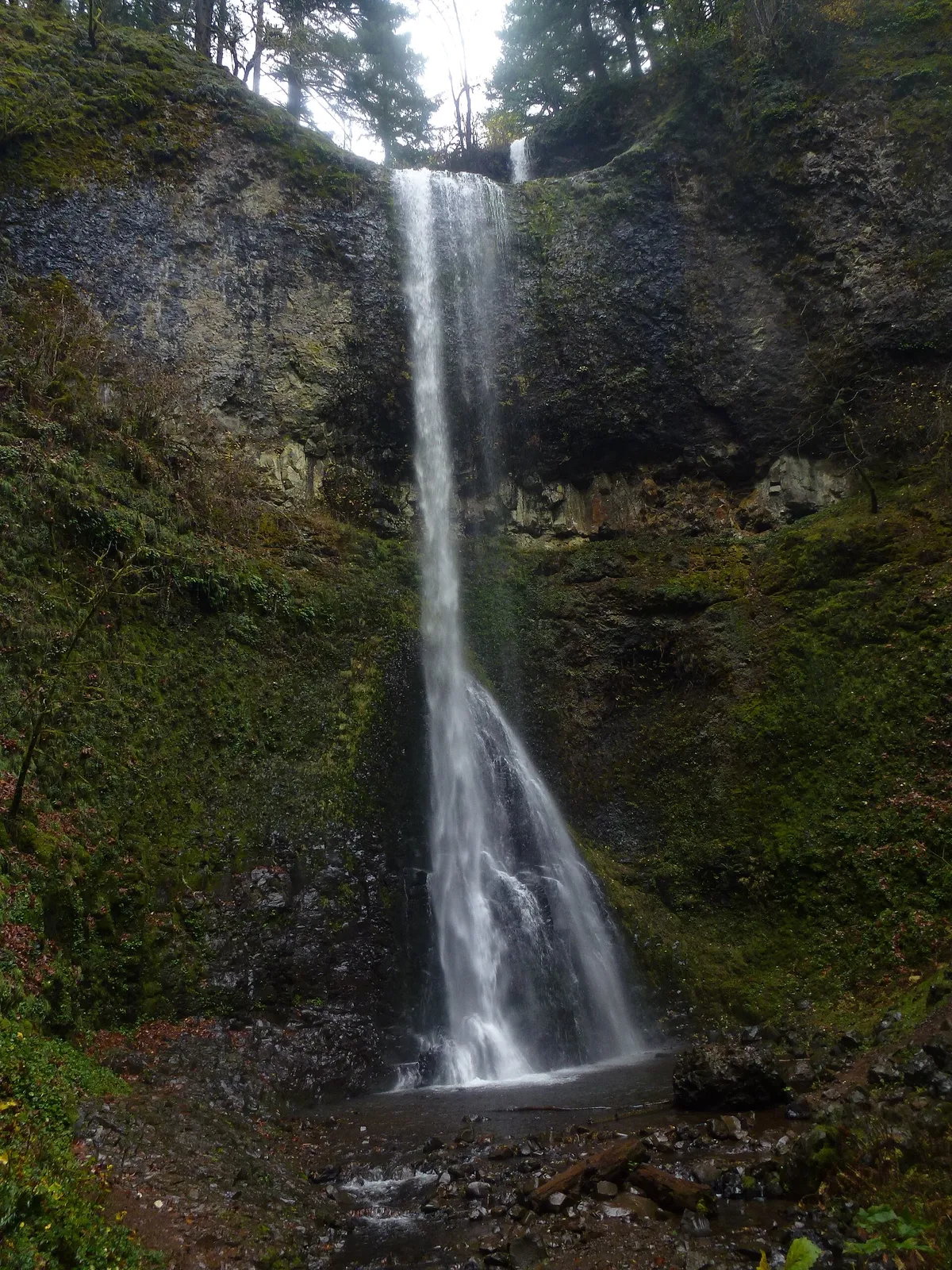
South Falls
Lyons · Marion County · waterfall
Visit
Plan a visit
Save this place, get directions, or start a short trip plan. Hours and amenities are listed below.
Search to see a fit score for your needs.
Essentials
At a glance
- Hours
See official page for current hours
On site
Visitor amenities
…stay a while
- Restroomfacility
- Picnic Areafacility
- Parkingfacility
- Accessible Featuresfacility
…be in nature
- Trailnature
- Vista Pointnature
- Hiking Trailsnature
- Waterfallnature
Location map
Pin location for directions and nearby context.
Overview
About this park
Silver Falls State Park is a state park in the U. S. state of Oregon, located near Silverton, about 20 miles (32 km) east-southeast of Salem.
It is the largest state park in Oregon, with an area of more than 9,000 acres (36 km2), and it includes more than 24 miles (39 km) of walking trails, 14 miles (23 km) of horse trails, and a 4-mile (6.
Things to do
Things to do
4 km) bike path. Its 7. 2-mile (11. 6 km) Canyon Trail/Trail of Ten Falls runs along the banks of Silver Creek and by ten waterfalls, from which the park received its name.
Four of the ten falls have an amphitheater-like surrounding that allows the trail to pass behind the flow of the falls.
Setting
Landscape & setting
The Silver Falls State Park Concession Building Area and the Silver Creek Youth Camp-Silver Falls State Park are separately listed on the U. S.
Background
History & notes
National Register of Historic Places.
Today
Weather
Forecast is advisory — confirm park hours before you go.
Nearby
More parks in Lyons
Data quality
Sources
Confidence checks: coordinates · website · image · hours · amenities (and last verified when known).
Confidence score
85/ 100
USGS GNIS Falls (Oregon)
- official website
- coordinates
- amenities
- hours
- image
- last verified
Unknown statuses are not treated as open.