
Unity Lake State Recreation Site
4.7Google rating(111 reviews)John Day · recreation area · 39.0 acres
Camping openOpen for camping Apr 14 – Oct 31



Visit
Best for
Essentials
At a glance
- Hours
Open for camping Apr 14 – Oct 31
On site
Visitor amenities
…stay a while
- Restroomfacility
- Picnic Areafacility
- Showerfacility
- Accessible Featuresfacility
…be in nature
- Wildlife Viewingnature
…near water
- Boat Launchwater
- Fishingwater
…stay overnight
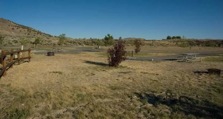
- Campingcamping
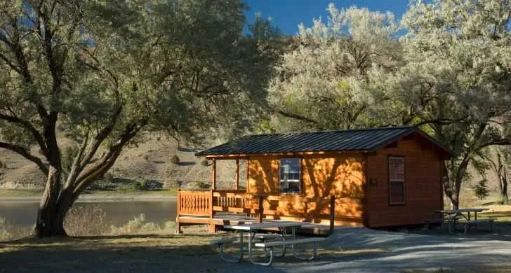
- Cabin / Yurtcamping
- Dump Stationcamping
Access
Accessibility
- Wheelchair accessible
- Accessible parking
- Accessible restroom
- Accessible entrance
Inferred from amenities/description; confirm on official sources.
Browse wheelchair-accessible parksPark size map
Official park boundary from GIS.
On the ground
Trails
Overview
About this park
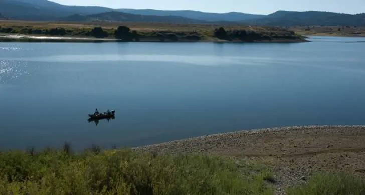
Unity Lake State Recreation Site is an oasis of green in Oregon's high desert that offers boating and angling.
The small campground is the perfect jumping-off point for visiting nearby historical sites and wilderness areas.
Come October, many visitors use the campground as a base for hunting big game and upland birds on nearby public land in the Umatilla , Malhuer , and Wallowa-Whitman national forests.
No hunting is allowed within the park boundary. Seasonal Camping Reservations for cabins and campsites available up to 6 months in advance .
The nearby mining town of Sumpter and Sumpter Valley Dredge State Heritage Area also offer a unique daytrip opportunity.
The centerpiece is the five-story, 125-foot floating dredge that excavated $4. 5 million in gold between 1935 and 1954.
During the summer, the Sumpter Valley Railroad offers tours of the area.
Things to do
Things to do
Nearby Attractions Hiking and wildlife viewing opportunities abound in the three wilderness areas that lie within 30 miles of the park: Monument Rock , Strawberry Mountain , and North Fork John Day .
For a glimpse into the past, visit the National Historic Oregon Trail Interpretive Center at Flagstaff Hill.
Background
History & notes
Thirty acres of the park are managed under a 1959 lease agreement with the U. S. Bureau of Reclamation. The additional nine acres were purchased from a private owner. Unity Lake was formed after the damming of Burnt River by the Bureau of Reclamation to provide agricultural irrigation water. The park was created to provide public access to the lake.
Today
Weather
Forecast is advisory — confirm park hours before you go.
Plan your visit
Nearby
More parks in John Day
Data quality
Sources
Confidence checks: coordinates · website · image · hours · amenities (and last verified when known).
Confidence score
85/ 100
Oregon State Parks
- official website
- coordinates
- amenities
- hours
- image
- last verified
Confirm hours on the official page before visiting.